Distance to Mantador, North Dakota

Calculating Your Route
Just a moment while we process your request...
Location Information
-
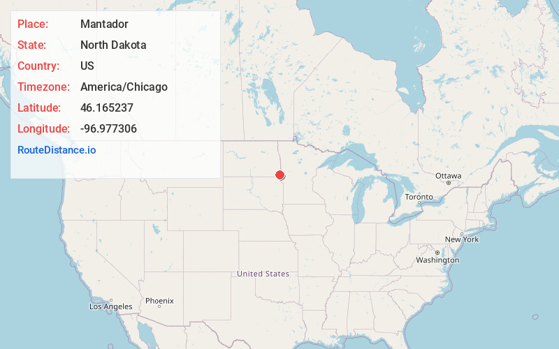
Full AddressMantador, ND 58058
-
Coordinates46.1652368, -96.9773059
-
LocationMantador , North Dakota , US
-
TimezoneAmerica/Chicago
-
Current Local Time3:20:17 AM America/ChicagoWednesday, June 18, 2025
-
Page Views0
About Mantador
Mantador is a city in Richland County, North Dakota, United States. The population was 67 at the 2020 census. Mantador was founded in 1893. It is part of the Wahpeton, ND-MN Micropolitan Statistical Area.


Nearby Places
Found 10 places within 50 miles

Barney
7.1 mi
11.4 km
Barney, ND 58008
Get directions

Hankinson
7.5 mi
12.1 km
Hankinson, ND 58041
Get directions
Mooreton
8.6 mi
13.8 km
Mooreton, ND 58061
Get directions
Wyndmere
10.2 mi
16.4 km
Wyndmere, ND 58081
Get directions

Lidgerwood
10.4 mi
16.7 km
Lidgerwood, ND 58053
Get directions
Dwight
14.9 mi
24.0 km
Dwight, ND 58075
Get directions

Wahpeton
19.1 mi
30.7 km
Wahpeton, ND 58075
Get directions
Fairmount
19.5 mi
31.4 km
Fairmount, ND 58030
Get directions

Breckenridge
19.8 mi
31.9 km
Breckenridge, MN 56520
Get directions

Cayuga
20.5 mi
33.0 km
Cayuga, ND 58013
Get directions
Location Links
Local Weather
Weather Information
Coming soon!
Location Map
Static map view of Mantador, North Dakota
Browse Places by Distance
Places within specific distances from Mantador
Short Distances
Long Distances
Click any distance to see all places within that range from Mantador. Distances shown in miles (1 mile ≈ 1.61 kilometers).