Distance to Mantorville, Minnesota

Calculating Your Route
Just a moment while we process your request...
Location Information
-
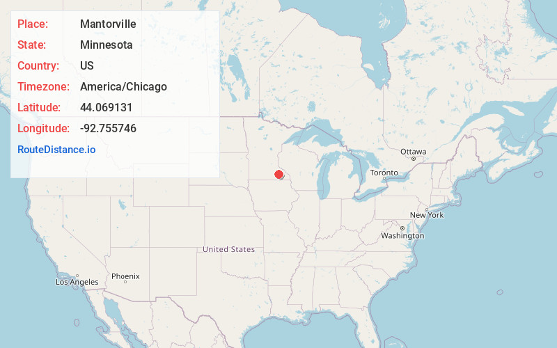
Full AddressMantorville, MN
-
Coordinates44.0691307, -92.7557456
-
LocationMantorville , Minnesota , US
-
TimezoneAmerica/Chicago
-
Current Local Time4:33:06 PM America/ChicagoWednesday, June 25, 2025
-
Page Views0
About Mantorville
Mantorville is a city in Dodge County, Minnesota, United States. The population was 1,197 at the 2010 census. It is the county seat of Dodge County. Founded in 1854, the city is one of the oldest in Minnesota.
Mantorville shares a school system with nearby Kasson, Minnesota.


Nearby Places
Found 10 places within 50 miles

Kasson
2.7 mi
4.3 km
Kasson, MN
Get directions

Dodge Center
5.7 mi
9.2 km
Dodge Center, MN 55927
Get directions

Byron
6.0 mi
9.7 km
Byron, MN 55920
Get directions

Pine Island
10.6 mi
17.1 km
Pine Island, MN
Get directions

Oronoco
12.8 mi
20.6 km
Oronoco, MN 55960
Get directions

Hayfield
13.2 mi
21.2 km
Hayfield, MN 55940
Get directions

Rochester
15.1 mi
24.3 km
Rochester, MN
Get directions

Zumbrota
16.1 mi
25.9 km
Zumbrota, MN 55992
Get directions
Wanamingo
16.3 mi
26.2 km
Wanamingo, MN 55983
Get directions

Kenyon
18.1 mi
29.1 km
Kenyon, MN 55946
Get directions
Location Links
Local Weather
Weather Information
Coming soon!
Location Map
Static map view of Mantorville, Minnesota
Browse Places by Distance
Places within specific distances from Mantorville
Short Distances
Long Distances
Click any distance to see all places within that range from Mantorville. Distances shown in miles (1 mile ≈ 1.61 kilometers).