Distance to Pine Island, Minnesota

Calculating Your Route
Just a moment while we process your request...
Location Information
-
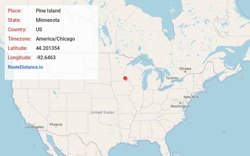
Full AddressPine Island, MN
-
Coordinates44.2013537, -92.6462999
-
LocationPine Island , Minnesota , US
-
TimezoneAmerica/Chicago
-
Current Local Time9:37:50 AM America/ChicagoThursday, June 19, 2025
-
Page Views0
About Pine Island
Pine Island is a city in Goodhue and Olmsted counties in the U.S. state of Minnesota. Most of Pine Island is in Goodhue County, but a small part extends into Olmsted County, making that portion part of the Rochester metropolitan area. As of the 2020 census, the population was 3,769.


Nearby Places
Found 10 places within 50 miles

Zumbrota
6.5 mi
10.5 km
Zumbrota, MN 55992
Get directions

Byron
11.7 mi
18.8 km
Byron, MN 55920
Get directions

Kasson
13.0 mi
20.9 km
Kasson, MN
Get directions

Rochester
15.6 mi
25.1 km
Rochester, MN
Get directions

Cannon Falls
24.7 mi
39.8 km
Cannon Falls, MN 55009
Get directions

Stewartville
25.1 mi
40.4 km
Stewartville, MN 55976
Get directions

Lake City
25.4 mi
40.9 km
Lake City, MN 55041
Get directions

Red Wing
25.8 mi
41.5 km
Red Wing, MN
Get directions

Owatonna
29.8 mi
48.0 km
Owatonna, MN
Get directions

Northfield
31.0 mi
49.9 km
Northfield, MN 55057
Get directions
Location Links
Local Weather
Weather Information
Coming soon!
Location Map
Static map view of Pine Island, Minnesota
Browse Places by Distance
Places within specific distances from Pine Island
Short Distances
Long Distances
Click any distance to see all places within that range from Pine Island. Distances shown in miles (1 mile ≈ 1.61 kilometers).