Distance to Mantua, Virginia

Calculating Your Route
Just a moment while we process your request...
Location Information
-
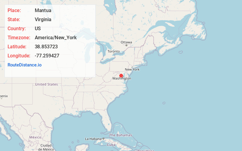
Full AddressMantua, VA 22031
-
Coordinates38.8537233, -77.2594273
-
LocationMantua , Virginia , US
-
TimezoneAmerica/New_York
-
Current Local Time5:23:53 AM America/New_YorkWednesday, June 18, 2025
-
Page Views0
About Mantua
Mantua is a census-designated place in Fairfax County, Virginia, United States. Mantua is a bedroom community serving as a suburb to the Washington, D.C. metropolitan area. Most of the homes in Mantua were built between the 1950s and the 1980s. The population was 7,503 at the 2020 census.

Nearby Places
Found 10 places within 50 miles

Merrifield
2.3 mi
3.7 km
Merrifield, VA
Get directions

Fairfax
2.5 mi
4.0 km
Fairfax, VA
Get directions

Oakton
2.9 mi
4.7 km
Oakton, VA
Get directions

Dunn Loring
3.4 mi
5.5 km
Dunn Loring, VA
Get directions

Annandale
3.8 mi
6.1 km
Annandale, VA
Get directions

Idylwood
3.8 mi
6.1 km
Idylwood, VA
Get directions

Burke
4.2 mi
6.8 km
Burke, VA
Get directions

Tysons
4.7 mi
7.6 km
Tysons, VA
Get directions
Burke Centre
5.0 mi
8.0 km
Burke Centre, VA
Get directions

Fairfax Station
5.1 mi
8.2 km
Fairfax Station, VA
Get directions
Location Links
Local Weather
Weather Information
Coming soon!
Location Map
Static map view of Mantua, Virginia
Browse Places by Distance
Places within specific distances from Mantua
Short Distances
Long Distances
Click any distance to see all places within that range from Mantua. Distances shown in miles (1 mile ≈ 1.61 kilometers).