Distance to Maple, Minnesota

Calculating Your Route
Just a moment while we process your request...
Location Information
-
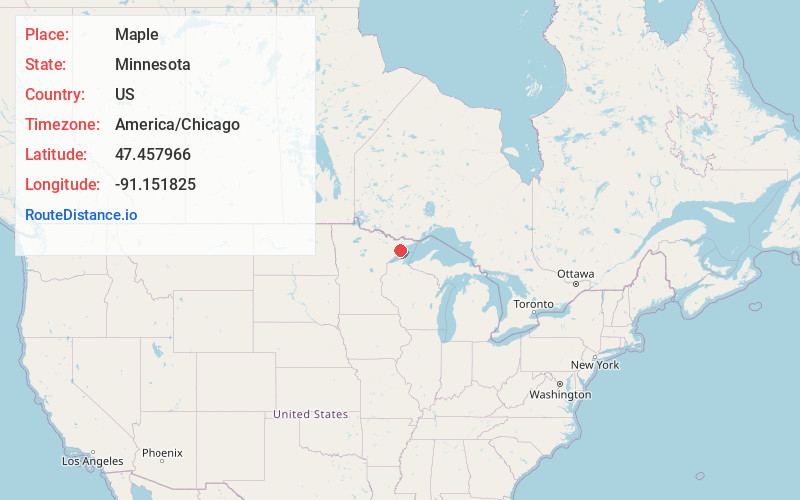
Full AddressMaple, MN 55603
-
Coordinates47.4579657, -91.1518254
-
LocationMaple , Minnesota , US
-
TimezoneAmerica/Chicago
-
Current Local Time11:47:32 PM America/ChicagoMonday, June 9, 2025
-
Page Views0
About Maple
Maple is an unincorporated community in Waconia Township, Carver County, Minnesota, United States. The community is located along Carver County Road 10 near Mayer and Waconia.
Nearby Places
Found 10 places within 50 miles

Little Marais
3.8 mi
6.1 km
Little Marais, MN 55614
Get directions

Finland
5.4 mi
8.7 km
Finland, MN 55603
Get directions

Cramer
5.6 mi
9.0 km
Cramer, MN 55603
Get directions

Illgen City
7.9 mi
12.7 km
Illgen City, MN 55614
Get directions
Murphy City
8.8 mi
14.2 km
Murphy City, MN 55603
Get directions

Lax Lake
10.8 mi
17.4 km
Lax Lake, MN 55614
Get directions

Silver Bay
12.3 mi
19.8 km
Silver Bay, MN 55614
Get directions

Schroeder
13.2 mi
21.2 km
Schroeder, MN
Get directions

Beaver Bay
15.5 mi
24.9 km
Beaver Bay, MN
Get directions
Jay See Landing
16.4 mi
26.4 km
Jay See Landing, MN 55607
Get directions
Location Links
Local Weather
Weather Information
Coming soon!
Location Map
Static map view of Maple, Minnesota
Browse Places by Distance
Places within specific distances from Maple
Short Distances
Long Distances
Click any distance to see all places within that range from Maple. Distances shown in miles (1 mile ≈ 1.61 kilometers).