Distance to Maple Plain, Minnesota

Calculating Your Route
Just a moment while we process your request...
Location Information
-
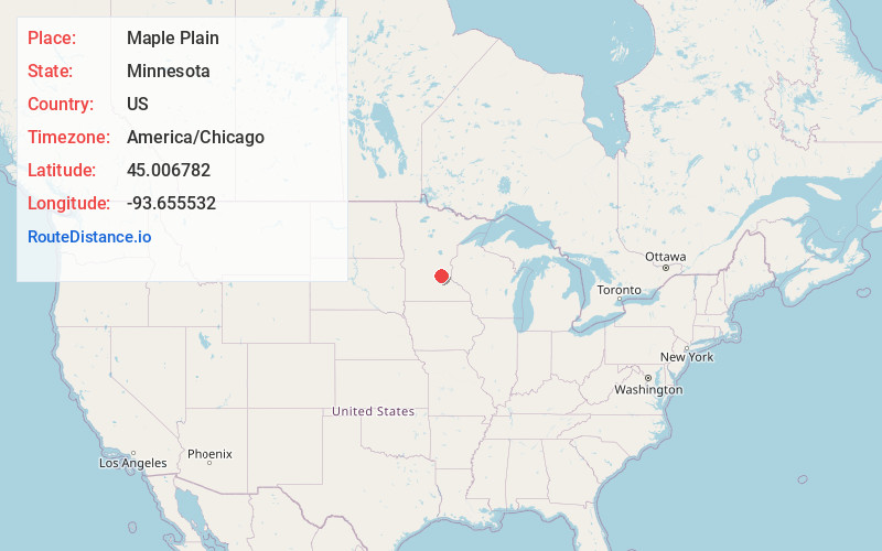
Full AddressMaple Plain, MN 55359
-
Coordinates45.0067822, -93.6555315
-
LocationMaple Plain , Minnesota , US
-
TimezoneAmerica/Chicago
-
Current Local Time4:50:27 AM America/ChicagoThursday, June 19, 2025
-
Page Views0
About Maple Plain
Maple Plain is a city in Hennepin County, Minnesota, United States. The population was 1,743 at the 2020 census.


Nearby Places
Found 10 places within 50 miles

Independence
2.8 mi
4.5 km
Independence, MN
Get directions

Orono
3.5 mi
5.6 km
Orono, MN
Get directions

Medina
4.1 mi
6.6 km
Medina, MN
Get directions

Mound
4.9 mi
7.9 km
Mound, MN
Get directions

Spring Park
5.1 mi
8.2 km
Spring Park, MN
Get directions

Minnetrista
5.6 mi
9.0 km
Minnetrista, MN
Get directions

Greenfield
6.9 mi
11.1 km
Greenfield, MN
Get directions

Delano
7.0 mi
11.3 km
Delano, MN 55328
Get directions

Rockford
7.0 mi
11.3 km
Rockford, MN
Get directions

Wayzata
7.6 mi
12.2 km
Wayzata, MN
Get directions
Location Links
Local Weather
Weather Information
Coming soon!
Location Map
Static map view of Maple Plain, Minnesota
Browse Places by Distance
Places within specific distances from Maple Plain
Short Distances
Long Distances
Click any distance to see all places within that range from Maple Plain. Distances shown in miles (1 mile ≈ 1.61 kilometers).