Distance to Mound, Minnesota

Calculating Your Route
Just a moment while we process your request...
Location Information
-
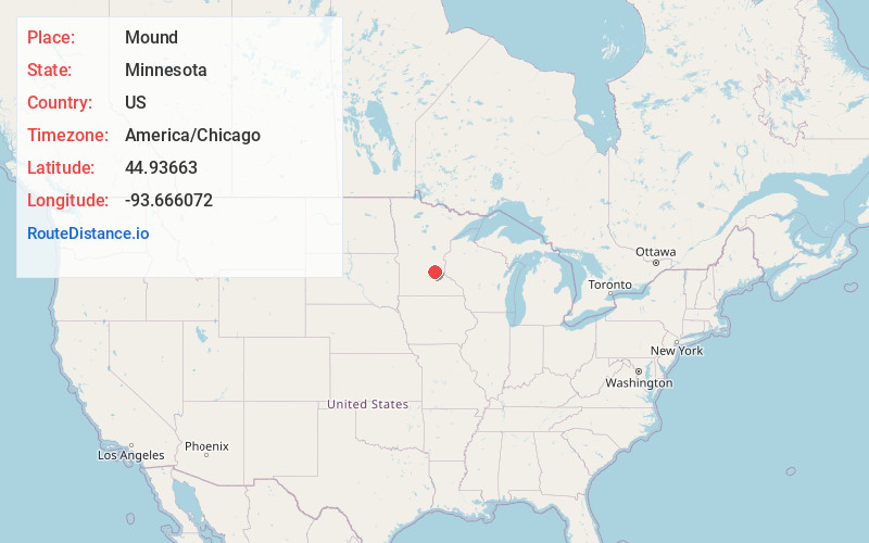
Full AddressMound, MN
-
Coordinates44.9366295, -93.6660719
-
LocationMound , Minnesota , US
-
TimezoneAmerica/Chicago
-
Current Local Time12:51:34 PM America/ChicagoWednesday, June 18, 2025
-
Page Views0
About Mound
Mound is a city in western Hennepin County, Minnesota, United States. The population was 9,052 at the 2010 census. Mound was the birthplace of the Tonka truck that is named after Lake Minnetonka, which the eastern part of town sits on. Mound is 22 miles west of Minneapolis, the county seat.


Nearby Places
Found 10 places within 50 miles

Victoria
5.4 mi
8.7 km
Victoria, MN
Get directions

Chanhassen
8.3 mi
13.4 km
Chanhassen, MN
Get directions

Waconia
8.4 mi
13.5 km
Waconia, MN
Get directions

Minnetonka
9.7 mi
15.6 km
Minnetonka, MN
Get directions

Chaska
10.7 mi
17.2 km
Chaska, MN 55318
Get directions

Eden Prairie
11.1 mi
17.9 km
Eden Prairie, MN
Get directions

Plymouth
11.5 mi
18.5 km
Plymouth, MN
Get directions

Shakopee
11.8 mi
19.0 km
Shakopee, MN
Get directions

Hopkins
12.5 mi
20.1 km
Hopkins, MN
Get directions

Maple Grove
13.9 mi
22.4 km
Maple Grove, MN
Get directions
Location Links
Local Weather
Weather Information
Coming soon!
Location Map
Static map view of Mound, Minnesota
Browse Places by Distance
Places within specific distances from Mound
Short Distances
Long Distances
Click any distance to see all places within that range from Mound. Distances shown in miles (1 mile ≈ 1.61 kilometers).