Distance to Chanhassen, Minnesota

Calculating Your Route
Just a moment while we process your request...
Location Information
-
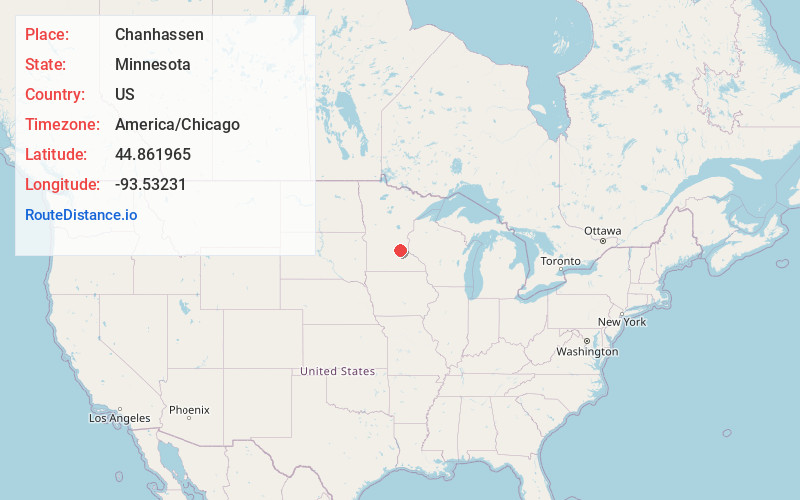
Full AddressChanhassen, MN
-
Coordinates44.8619645, -93.5323103
-
LocationChanhassen , Minnesota , US
-
TimezoneAmerica/Chicago
-
Current Local Time12:25:39 PM America/ChicagoWednesday, June 4, 2025
-
Website
-
Page Views0
About Chanhassen
Chanhassen is a city in Carver County, Minnesota, United States. about 16 miles southwest of Minneapolis. A small portion extends into Hennepin County. Located in the southwest Minneapolis–Saint Paul suburbs, there is a mix of suburban residential neighborhoods and rural landscapes.


Nearby Places
Found 10 places within 50 miles

Eden Prairie
3.1 mi
5.0 km
Eden Prairie, MN
Get directions

Shakopee
4.5 mi
7.2 km
Shakopee, MN
Get directions

Chaska
6.1 mi
9.8 km
Chaska, MN 55318
Get directions

Minnetonka
6.1 mi
9.8 km
Minnetonka, MN
Get directions

Edina
9.1 mi
14.6 km
Edina, MN
Get directions

Savage
10.8 mi
17.4 km
Savage, MN
Get directions

Plymouth
10.9 mi
17.5 km
Plymouth, MN
Get directions

Bloomington
11.6 mi
18.7 km
Bloomington, MN
Get directions

Prior Lake
11.6 mi
18.7 km
Prior Lake, MN
Get directions

Richfield
12.3 mi
19.8 km
Richfield, MN 55423
Get directions
Location Links
Local Weather
Weather Information
Coming soon!
Location Map
Static map view of Chanhassen, Minnesota
Browse Places by Distance
Places within specific distances from Chanhassen
Short Distances
Long Distances
Click any distance to see all places within that range from Chanhassen. Distances shown in miles (1 mile ≈ 1.61 kilometers).