Distance to Maple Rapids, Michigan

Calculating Your Route
Just a moment while we process your request...
Location Information
-
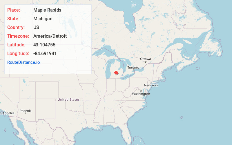
Full AddressMaple Rapids, MI
-
Coordinates43.1047548, -84.6919407
-
LocationMaple Rapids , Michigan , US
-
TimezoneAmerica/Detroit
-
Current Local Time10:33:16 PM America/DetroitWednesday, June 18, 2025
-
Page Views0
About Maple Rapids
Maple Rapids is a village in Clinton County in the U.S. state of Michigan. The population was 672 at the 2010 census. The village is located in Essex Township about 10 miles northwest of St. Johns. A portion of the village is within the Maple River State Game Area.

Nearby Places
Found 10 places within 50 miles

Fowler
7.5 mi
12.1 km
Fowler, MI 48835
Get directions

Carson City
9.2 mi
14.8 km
Carson City, MI 48811
Get directions

St Johns
9.8 mi
15.8 km
St Johns, MI 48879
Get directions
Westphalia
13.3 mi
21.4 km
Westphalia, MI 48894
Get directions

Ithaca
13.6 mi
21.9 km
Ithaca, MI 48847
Get directions

Lyons
15.4 mi
24.8 km
Lyons, MI 48851
Get directions
Elsie
15.4 mi
24.8 km
Elsie, MI 48831
Get directions

Crystal
15.7 mi
25.3 km
Crystal, MI 48818
Get directions

Ovid
17.6 mi
28.3 km
Ovid, MI 48866
Get directions

Alma
19.0 mi
30.6 km
Alma, MI 48801
Get directions
Location Links
Local Weather
Weather Information
Coming soon!
Location Map
Static map view of Maple Rapids, Michigan
Browse Places by Distance
Places within specific distances from Maple Rapids
Short Distances
Long Distances
Click any distance to see all places within that range from Maple Rapids. Distances shown in miles (1 mile ≈ 1.61 kilometers).