Distance to Westphalia, Michigan

Calculating Your Route
Just a moment while we process your request...
Location Information
-
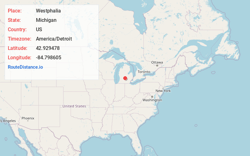
Full AddressWestphalia, MI 48894
-
Coordinates42.9294782, -84.798605
-
LocationWestphalia , Michigan , US
-
TimezoneAmerica/Detroit
-
Current Local Time5:02:35 PM America/DetroitThursday, July 3, 2025
-
Page Views0
About Westphalia
Westphalia is a village in Clinton County in the U.S. state of Michigan. The population was 924 at the time of the 2020 census. The village is in Westphalia Township, about 25 miles northwest of Lansing and 55 miles east of Grand Rapids. The village is known for its German and Catholic roots.
Nearby Places
Found 10 places within 50 miles

Fowler
5.8 mi
9.3 km
Fowler, MI 48835
Get directions

Portland
7.1 mi
11.4 km
Portland, MI 48875
Get directions

Lyons
8.3 mi
13.4 km
Lyons, MI 48851
Get directions
Wacousta
8.6 mi
13.8 km
Wacousta, MI 48822
Get directions

Grand Ledge
12.5 mi
20.1 km
Grand Ledge, MI 48837
Get directions

St Johns
13.1 mi
21.1 km
St Johns, MI 48879
Get directions

DeWitt
13.1 mi
21.1 km
DeWitt, MI 48820
Get directions

Ionia
14.3 mi
23.0 km
Ionia, MI 48846
Get directions
Waverly
15.8 mi
25.4 km
Waverly, MI 48917
Get directions
Edgemont Park
16.4 mi
26.4 km
Edgemont Park, MI 48917
Get directions
Location Links
Local Weather
Weather Information
Coming soon!
Location Map
Static map view of Westphalia, Michigan
Browse Places by Distance
Places within specific distances from Westphalia
Short Distances
Long Distances
Click any distance to see all places within that range from Westphalia. Distances shown in miles (1 mile ≈ 1.61 kilometers).