Distance to Wacousta, Michigan

Calculating Your Route
Just a moment while we process your request...
Location Information
-
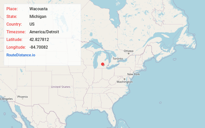
Full AddressWacousta, MI 48822
-
Coordinates42.8278123, -84.7008204
-
LocationWacousta , Michigan , US
-
TimezoneAmerica/Detroit
-
Current Local Time7:22:18 PM America/DetroitWednesday, June 4, 2025
-
Page Views0
About Wacousta
Wacousta is an unincorporated community and census-designated place in Clinton County in the U.S. state of Michigan. The CDP is located within Watertown Charter Township. As of the 2010 census, it had a population of 1,440.
Nearby Places
Found 10 places within 50 miles

Grand Ledge
5.6 mi
9.0 km
Grand Ledge, MI 48837
Get directions

DeWitt
6.7 mi
10.8 km
DeWitt, MI 48820
Get directions

Waverly
7.2 mi
11.6 km
Waverly, MI 48917
Get directions
Edgemont Park
7.8 mi
12.6 km
Edgemont Park, MI 48917
Get directions

Lansing
9.9 mi
15.9 km
Lansing, MI
Get directions

Portland
10.9 mi
17.5 km
Portland, MI 48875
Get directions

East Lansing
12.7 mi
20.4 km
East Lansing, MI
Get directions

Potterville
13.9 mi
22.4 km
Potterville, MI
Get directions

St Johns
14.0 mi
22.5 km
St Johns, MI 48879
Get directions

Okemos
15.7 mi
25.3 km
Okemos, MI
Get directions
Location Links
Local Weather
Weather Information
Coming soon!
Location Map
Static map view of Wacousta, Michigan
Browse Places by Distance
Places within specific distances from Wacousta
Short Distances
Long Distances
Click any distance to see all places within that range from Wacousta. Distances shown in miles (1 mile ≈ 1.61 kilometers).