Distance to DeWitt, Michigan

Calculating Your Route
Just a moment while we process your request...
Location Information
-
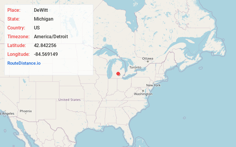
Full AddressDeWitt, MI 48820
-
Coordinates42.842256, -84.5691487
-
LocationDeWitt , Michigan , US
-
TimezoneAmerica/Detroit
-
Current Local Time11:25:35 AM America/DetroitSunday, June 8, 2025
-
Page Views0
About DeWitt
DeWitt is a city in Clinton County in the U.S. state of Michigan. The population was 4,776 at the 2020 census. The city is located north of Interstate 69 and west of U.S. Route 127, just north of the city of Lansing.


Nearby Places
Found 10 places within 50 miles

Waverly
7.5 mi
12.1 km
Waverly, MI 48917
Get directions

Lansing
7.5 mi
12.1 km
Lansing, MI
Get directions

East Lansing
8.5 mi
13.7 km
East Lansing, MI
Get directions

Haslett
10.5 mi
16.9 km
Haslett, MI
Get directions

Grand Ledge
10.9 mi
17.5 km
Grand Ledge, MI 48837
Get directions

Okemos
11.0 mi
17.7 km
Okemos, MI
Get directions

St Johns
11.0 mi
17.7 km
St Johns, MI 48879
Get directions

Holt
14.2 mi
22.9 km
Holt, MI
Get directions

Mason
19.3 mi
31.1 km
Mason, MI 48854
Get directions

Owosso
22.6 mi
36.4 km
Owosso, MI 48867
Get directions
Location Links
Local Weather
Weather Information
Coming soon!
Location Map
Static map view of DeWitt, Michigan
Browse Places by Distance
Places within specific distances from DeWitt
Short Distances
Long Distances
Click any distance to see all places within that range from DeWitt. Distances shown in miles (1 mile ≈ 1.61 kilometers).