Distance to Maple Valley Schools, Michigan

Calculating Your Route
Just a moment while we process your request...
Location Information
-
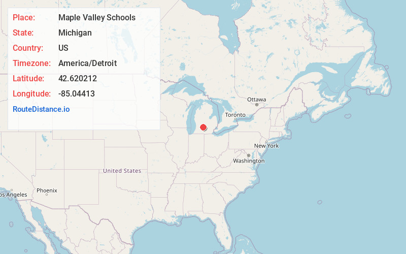
Full AddressMaple Valley Schools, MI
-
Coordinates42.6202124, -85.0441304
-
LocationMichigan , US
-
TimezoneAmerica/Detroit
-
Current Local Time9:48:26 PM America/DetroitFriday, May 23, 2025
-
Website
-
Page Views0
About Maple Valley Schools
Maple Valley Schools is located in Vermontville, Eaton County, Michigan. Maple Valley Schools is within the Eaton Intermediate School District.
Nearby Places
Found 10 places within 50 miles

Vermontville
1.2 mi
1.9 km
Vermontville, MI 49096
Get directions

Nashville
2.8 mi
4.5 km
Nashville, MI 49073
Get directions

Maple Grove
6.4 mi
10.3 km
Maple Grove, MI 49073
Get directions
Chester
6.7 mi
10.8 km
Chester, MI 48813
Get directions
Morgan
6.7 mi
10.8 km
Morgan, Castleton Township, MI 49073
Get directions
Gresham
7.7 mi
12.4 km
Gresham, Chester Township, MI 48813
Get directions

Woodland
8.6 mi
13.8 km
Woodland, MI 48897
Get directions
Coats Grove
8.7 mi
14.0 km
Coats Grove, Castleton Township, MI 49058
Get directions
Woodbury
9.9 mi
15.9 km
Woodbury, MI 48849
Get directions

Sunfield
10.2 mi
16.4 km
Sunfield, MI 48890
Get directions
Location Links
Local Weather
Weather Information
Coming soon!
Location Map
Static map view of Maple Valley Schools, Michigan
Browse Places by Distance
Places within specific distances from Maple Valley Schools
Short Distances
Long Distances
Click any distance to see all places within that range from Maple Valley Schools. Distances shown in miles (1 mile ≈ 1.61 kilometers).