Distance to Maple, North Carolina

Calculating Your Route
Just a moment while we process your request...
Location Information
-
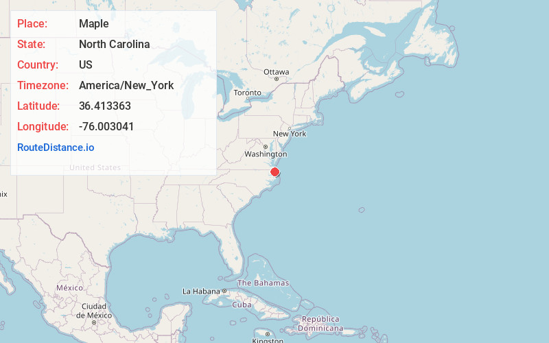
Full AddressMaple, NC
-
Coordinates36.4133628, -76.0030411
-
LocationMaple , North Carolina , US
-
TimezoneAmerica/New_York
-
Current Local Time10:37:28 AM America/New_YorkTuesday, June 17, 2025
-
Page Views0
About Maple
Maple is an unincorporated community in Crawford Township, Currituck County, North Carolina, United States, located at the intersection of NC Highway 168 and SR 1246. Maple is located at latitude 36.4148780 North, and longitude -76.0040925 West. The elevation is three feet.
Nearby Places
Found 10 places within 50 miles

Currituck
2.4 mi
3.9 km
Currituck, NC
Get directions

Coinjock
5.6 mi
9.0 km
Coinjock, NC
Get directions

Snowden
6.6 mi
10.6 km
Snowden, NC 27958
Get directions
Bertha
11.0 mi
17.7 km
Bertha, NC 27965
Get directions
Poplar Branch
11.0 mi
17.7 km
Poplar Branch, NC
Get directions

Camden
11.1 mi
17.9 km
Camden, NC 27921
Get directions
Vine
11.7 mi
18.8 km
Vine, Virginia Beach, VA 23457
Get directions

Moyock
12.4 mi
20.0 km
Moyock, NC 27958
Get directions

Grandy
13.7 mi
22.0 km
Grandy, NC
Get directions
Burnt Mills
14.6 mi
23.5 km
Burnt Mills, NC 27921
Get directions
Location Links
Local Weather
Weather Information
Coming soon!
Location Map
Static map view of Maple, North Carolina
Browse Places by Distance
Places within specific distances from Maple
Short Distances
Long Distances
Click any distance to see all places within that range from Maple. Distances shown in miles (1 mile ≈ 1.61 kilometers).