Distance to Maplesville, Alabama

Calculating Your Route
Just a moment while we process your request...
Location Information
-
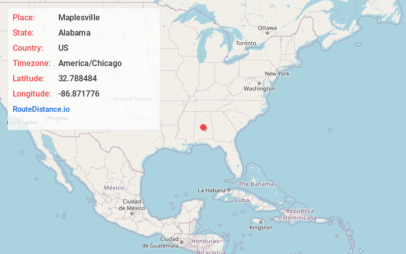
Full AddressMaplesville, AL
-
Coordinates32.7884842, -86.8717757
-
LocationMaplesville , Alabama , US
-
TimezoneAmerica/Chicago
-
Current Local Time1:22:53 AM America/ChicagoWednesday, June 18, 2025
-
Page Views0
About Maplesville
Maplesville is a town in Chilton County, Alabama, United States. At the 2020 census, the population was 637. It is located approximately halfway between Tuscaloosa and Montgomery on U.S. Route 82.

Nearby Places
Found 10 places within 50 miles

Thorsby
12.6 mi
20.3 km
Thorsby, AL
Get directions

Jemison
13.9 mi
22.4 km
Jemison, AL 35085
Get directions

Clanton
14.5 mi
23.3 km
Clanton, AL
Get directions

Centreville
18.9 mi
30.4 km
Centreville, AL 35042
Get directions

Brent
19.9 mi
32.0 km
Brent, AL
Get directions

Valley Grande
20.4 mi
32.8 km
Valley Grande, AL
Get directions

Montevallo
21.6 mi
34.8 km
Montevallo, AL 35115
Get directions

Calera
22.8 mi
36.7 km
Calera, AL
Get directions

Marbury
24.0 mi
38.6 km
Marbury, AL
Get directions

Pea Ridge
25.4 mi
40.9 km
Pea Ridge, AL 35115
Get directions
Location Links
Local Weather
Weather Information
Coming soon!
Location Map
Static map view of Maplesville, Alabama
Browse Places by Distance
Places within specific distances from Maplesville
Short Distances
Long Distances
Click any distance to see all places within that range from Maplesville. Distances shown in miles (1 mile ≈ 1.61 kilometers).