Distance to Maplewood, Missouri

Calculating Your Route
Just a moment while we process your request...
Location Information
-
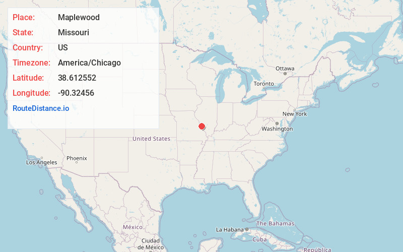
Full AddressMaplewood, MO
-
Coordinates38.6125521, -90.3245599
-
LocationMaplewood , Missouri , US
-
TimezoneAmerica/Chicago
-
Current Local Time1:22:15 PM America/ChicagoWednesday, June 18, 2025
-
Page Views0
About Maplewood
A major dining hub, up-and-coming Maplewood is home to a restaurants specializing in innovative fusion and New American fare, especially around buzzing Manchester Street. Independent shops sell fashion, homeware and gifts, while hip bars, cocktail lounges and brewpubs liven up the area at night. Vintage venues include the landmark 1916 Saratoga Lanes bowling alley.


Nearby Places
Found 10 places within 50 miles

Richmond Heights
1.1 mi
1.8 km
Richmond Heights, MO
Get directions

Brentwood
1.4 mi
2.3 km
Brentwood, MO
Get directions

Clayton
2.1 mi
3.4 km
Clayton, MO
Get directions

Webster Groves
2.2 mi
3.5 km
Webster Groves, MO
Get directions

Ladue
4.0 mi
6.4 km
Ladue, MO
Get directions

Affton
4.3 mi
6.9 km
Affton, MO 63123
Get directions
Olivette
4.6 mi
7.4 km
Olivette, MO 63132
Get directions

Kirkwood
4.9 mi
7.9 km
Kirkwood, MO 63122
Get directions

Crestwood
4.9 mi
7.9 km
Crestwood, MO
Get directions

Lemay
5.8 mi
9.3 km
Lemay, MO
Get directions
Location Links
Local Weather
Weather Information
Coming soon!
Location Map
Static map view of Maplewood, Missouri
Browse Places by Distance
Places within specific distances from Maplewood
Short Distances
Long Distances
Click any distance to see all places within that range from Maplewood. Distances shown in miles (1 mile ≈ 1.61 kilometers).