Distance to Maplewood, Washington

Calculating Your Route
Just a moment while we process your request...
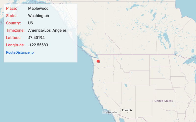
Location Information
-
Full AddressMaplewood, WA 98332
-
Coordinates47.40194, -122.55583
-
LocationMaplewood , Washington , US
-
TimezoneAmerica/Los_Angeles
-
Current Local Time7:28:16 AM America/Los_AngelesMonday, June 23, 2025
-
Page Views0
About Maplewood
Maplewood is an unincorporated community in Pierce County, Washington, USA. It is located south of Olalla on Puget Sound's Colvos Passage near Crescent Lake. The ZIP Code for Maplewood is 98332.
Nearby Places
Found 10 places within 50 miles

Gig Harbor
5.1 mi
8.2 km
Gig Harbor, WA
Get directions

Vashon
5.5 mi
8.9 km
Vashon, WA
Get directions

Artondale
7.7 mi
12.4 km
Artondale, WA 98335
Get directions
Parkwood
9.1 mi
14.6 km
Parkwood, WA 98366
Get directions

Wollochet
9.3 mi
15.0 km
Wollochet, WA 98335
Get directions

Port Orchard
10.3 mi
16.6 km
Port Orchard, WA
Get directions

Normandy Park
10.3 mi
16.6 km
Normandy Park, WA
Get directions

Manchester
10.7 mi
17.2 km
Manchester, WA
Get directions

Des Moines
10.8 mi
17.4 km
Des Moines, WA
Get directions

Burien
11.0 mi
17.7 km
Burien, WA
Get directions
Location Links
Local Weather
Weather Information
Coming soon!
Location Map
Static map view of Maplewood, Washington
Browse Places by Distance
Places within specific distances from Maplewood
Short Distances
Long Distances
Click any distance to see all places within that range from Maplewood. Distances shown in miles (1 mile ≈ 1.61 kilometers).