Distance to Mariba, Kentucky

Calculating Your Route
Just a moment while we process your request...
Location Information
-
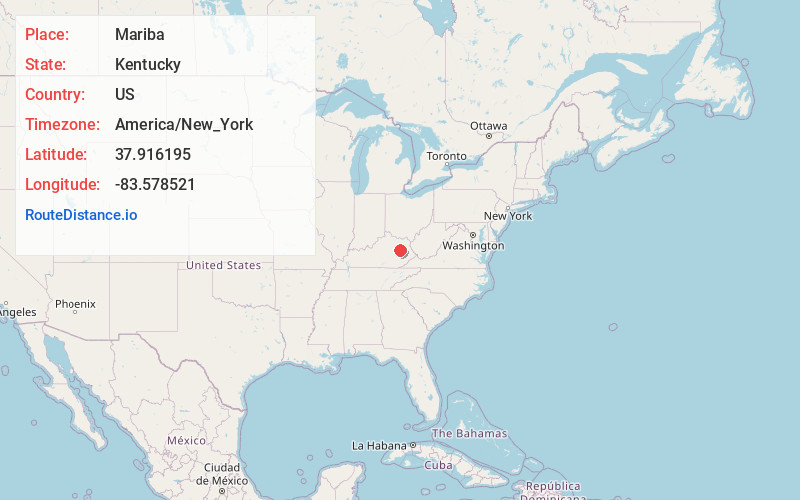
Full AddressMariba, KY 40322
-
Coordinates37.9161947, -83.5785214
-
LocationMariba , Kentucky , US
-
TimezoneAmerica/New_York
-
Current Local Time7:24:14 PM America/New_YorkThursday, June 5, 2025
-
Page Views0
About Mariba
Mariba is an unincorporated community in Menifee County, Kentucky, United States. It lies along U.S. Route 460 and Kentucky Route 77, southeast of the city of Frenchburg, the county seat of Menifee County. Its elevation is 1,175 feet. The community is part of the Mount Sterling Micropolitan Statistical Area.
Nearby Places
Found 10 places within 50 miles

Frenchburg
3.5 mi
5.6 km
Frenchburg, KY
Get directions

Wellington
3.6 mi
5.8 km
Wellington, KY
Get directions
Ratliff
5.5 mi
8.9 km
Ratliff, KY 40322
Get directions
Scranton
5.8 mi
9.3 km
Scranton, KY 40322
Get directions
Artville
6.3 mi
10.1 km
Artville, KY 40387
Get directions
Dan
7.0 mi
11.3 km
Dan, KY 40387
Get directions
Maytown
7.4 mi
11.9 km
Maytown, KY 41425
Get directions
Ezel
7.5 mi
12.1 km
Ezel, KY 41425
Get directions
Sudith
7.6 mi
12.2 km
Sudith, KY 40346
Get directions
Toliver
9.7 mi
15.6 km
Toliver, KY 41332
Get directions
Location Links
Local Weather
Weather Information
Coming soon!
Location Map
Static map view of Mariba, Kentucky
Browse Places by Distance
Places within specific distances from Mariba
Short Distances
Long Distances
Click any distance to see all places within that range from Mariba. Distances shown in miles (1 mile ≈ 1.61 kilometers).