Distance to Scranton, Kentucky

Calculating Your Route
Just a moment while we process your request...
Location Information
-
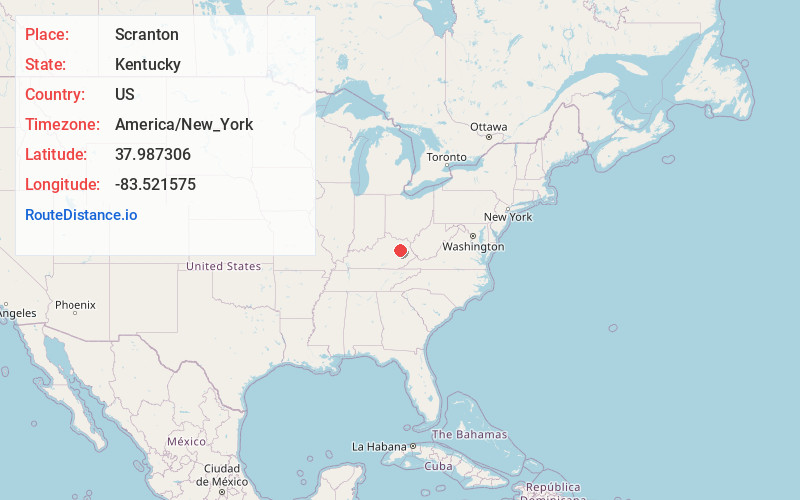
Full AddressScranton, KY 40322
-
Coordinates37.9873056, -83.5215752
-
LocationScranton , Kentucky , US
-
TimezoneAmerica/New_York
-
Current Local Time1:14:01 AM America/New_YorkWednesday, June 25, 2025
-
Page Views0
About Scranton
Scranton is an unincorporated community in Menifee County, Kentucky, United States. It lies along Route 1274 northeast of the city of Frenchburg, the county seat of Menifee County. Its elevation is 791 feet.
Scranton is part of the Mount Sterling Micropolitan Statistical Area.
Nearby Places
Found 10 places within 50 miles

Wellington
5.1 mi
8.2 km
Wellington, KY
Get directions

Frenchburg
6.2 mi
10.0 km
Frenchburg, KY
Get directions
Ezel
7.8 mi
12.6 km
Ezel, KY 41425
Get directions
Cogswell
8.1 mi
13.0 km
Cogswell, KY 40313
Get directions
Maytown
9.9 mi
15.9 km
Maytown, KY 41425
Get directions

Salt Lick
10.5 mi
16.9 km
Salt Lick, KY 40371
Get directions
Farmers
10.8 mi
17.4 km
Farmers, KY 40351
Get directions
Lakeview Heights
11.4 mi
18.3 km
Lakeview Heights, KY 40351
Get directions

Morehead
13.9 mi
22.4 km
Morehead, KY 40351
Get directions
Hazel Green
14.3 mi
23.0 km
Hazel Green, KY 41332
Get directions
Location Links
Local Weather
Weather Information
Coming soon!
Location Map
Static map view of Scranton, Kentucky
Browse Places by Distance
Places within specific distances from Scranton
Short Distances
Long Distances
Click any distance to see all places within that range from Scranton. Distances shown in miles (1 mile ≈ 1.61 kilometers).