Distance to Marion County, Indiana

Calculating Your Route
Just a moment while we process your request...
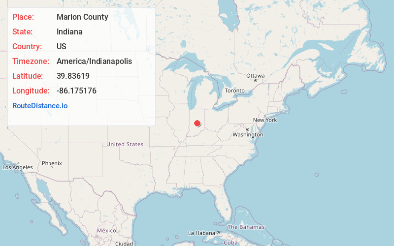
Location Information
-
Full AddressMarion County, IN
-
Coordinates39.83619, -86.1751759
-
LocationIndiana , US
-
TimezoneAmerica/Indianapolis
-
Page Views0
About Marion County
Marion County is located in the U.S. state of Indiana. The 2020 United States census reported a population of 977,203, making it the 54th-most populous county in the U.S., the most populous county in the state, and the main population center of the 11-county Indianapolis–Carmel–Greenwood MSA in central Indiana.


Nearby Places
Found 10 places within 50 miles

Indianapolis
4.7 mi
7.6 km
Indianapolis, IN
Get directions

Center Township
4.7 mi
7.6 km
Center Township, IN
Get directions

Speedway
5.0 mi
8.0 km
Speedway, IN
Get directions

Wayne Township
5.0 mi
8.0 km
Wayne Township, IN
Get directions

Pike Township
5.5 mi
8.9 km
Pike Township, IN
Get directions
North Augusta Addition
6.9 mi
11.1 km
North Augusta Addition, Carmel, IN 46032
Get directions
North Ridge Village
7.0 mi
11.3 km
North Ridge Village, Carmel, IN 46280
Get directions
College Meadows
7.1 mi
11.4 km
College Meadows, Carmel, IN 46280
Get directions
Orchard Park
7.4 mi
11.9 km
Orchard Park, Carmel, IN 46280
Get directions
Home Place
7.6 mi
12.2 km
Home Place, Carmel, IN 46280
Get directions
Location Links
Local Weather
Weather Information
Coming soon!
Location Map
Static map view of Marion County, Indiana
Browse Places by Distance
Places within specific distances from Marion County
Short Distances
Long Distances
Click any distance to see all places within that range from Marion County. Distances shown in miles (1 mile ≈ 1.61 kilometers).