Distance to Markley, Texas

Calculating Your Route
Just a moment while we process your request...
Location Information
-
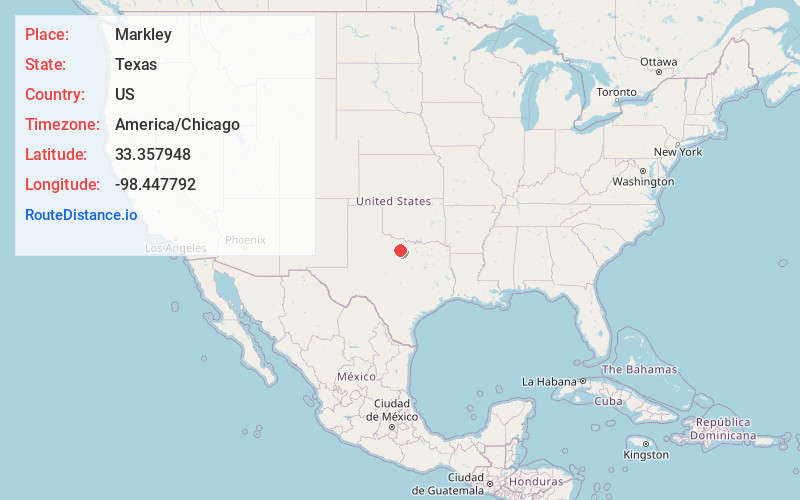
Full AddressMarkley, TX 76460
-
Coordinates33.357948, -98.447792
-
LocationMarkley , Texas , US
-
TimezoneAmerica/Chicago
-
Current Local Time3:06:52 AM America/ChicagoSaturday, June 14, 2025
-
Page Views0
About Markley
Markley is an unincorporated community in Young County, Texas, United States. It is located at the intersection of State Highway 16 and Farm to Market Road 1769, in the northeastern corner of Young County, approximately 21 miles from Graham. As of the 2000 Census, the population was estimated to be 50.
Nearby Places
Found 10 places within 50 miles

Antelope
7.3 mi
11.7 km
Antelope, TX 76389
Get directions

Loving
7.5 mi
12.1 km
Loving, TX 76460
Get directions

Jean
10.5 mi
16.9 km
Jean, Olney, TX 76374
Get directions

Bryson
14.1 mi
22.7 km
Bryson, TX
Get directions

Windthorst
15.1 mi
24.3 km
Windthorst, TX 76389
Get directions
Senate
15.5 mi
24.9 km
Senate, TX 76458
Get directions

Olney
17.6 mi
28.3 km
Olney, TX 76374
Get directions
Postoak
18.9 mi
30.4 km
Postoak, TX 76230
Get directions

Graham
19.2 mi
30.9 km
Graham, TX 76450
Get directions

Jacksboro
19.3 mi
31.1 km
Jacksboro, TX 76458
Get directions
Location Links
Local Weather
Weather Information
Coming soon!
Location Map
Static map view of Markley, Texas
Browse Places by Distance
Places within specific distances from Markley
Short Distances
Long Distances
Click any distance to see all places within that range from Markley. Distances shown in miles (1 mile ≈ 1.61 kilometers).