Distance to Marshall County, Alabama

Calculating Your Route
Just a moment while we process your request...
Location Information
-
Full AddressMarshall County, AL
-
Coordinates34.3652297, -86.3376761
-
LocationAlabama , US
-
TimezoneAmerica/Chicago
-
Current Local Time8:06:59 PM America/ChicagoTuesday, May 20, 2025
-
Page Views0
About Marshall County
Marshall County is a county of the state of Alabama, United States. As of the 2020 census the population was 97,612. Its county seat is Guntersville. A second courthouse is in Albertville. Its name is in honor of John Marshall, famous Chief Justice of the United States.


Nearby Places
Found 10 places within 50 miles

Guntersville
2.5 mi
4.0 km
Guntersville, AL
Get directions

Crossroads
3.0 mi
4.8 km
Crossroads, Guntersville, AL 35976
Get directions
Neighbors Mill
5.2 mi
8.4 km
Neighbors Mill, AL 35976
Get directions
Diamond
5.5 mi
8.9 km
Diamond, AL 35976
Get directions
Henryville
5.9 mi
9.5 km
Henryville, AL 35976
Get directions
Sidney
6.2 mi
10.0 km
Sidney, AL 35976
Get directions

Union Grove
6.8 mi
10.9 km
Union Grove, AL 35175
Get directions
Lattiwood
7.1 mi
11.4 km
Lattiwood, AL 35950
Get directions
Rabbit Town
7.4 mi
11.9 km
Rabbit Town, AL 35950
Get directions
Half Acre Estates
7.6 mi
12.2 km
Half Acre Estates, AL 35747
Get directions
Location Links
Local Weather
Weather Information
Coming soon!
Location Map
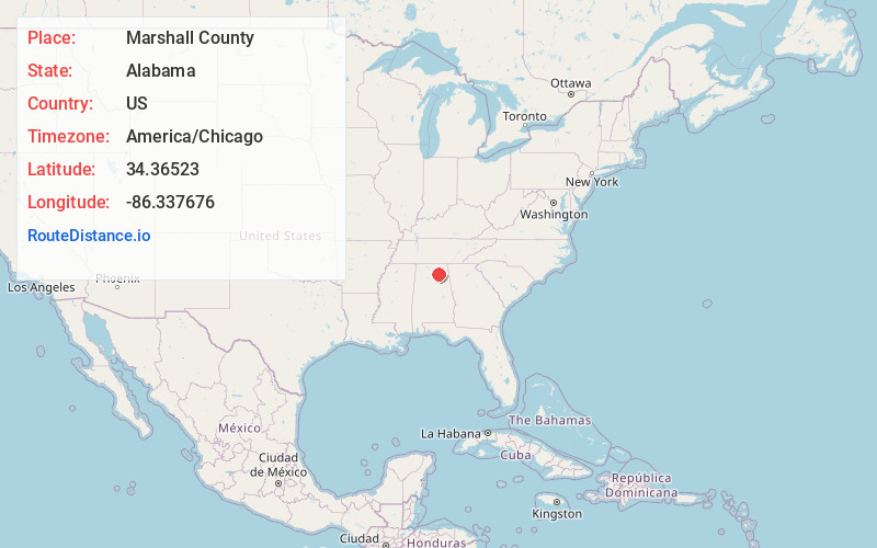
Static map view of Marshall County, Alabama
Browse Places by Distance
Places within specific distances from Marshall County
Short Distances
Long Distances
Click any distance to see all places within that range from Marshall County. Distances shown in miles (1 mile ≈ 1.61 kilometers).