Distance to Marshall Junction, Missouri

Calculating Your Route
Just a moment while we process your request...
Location Information
-
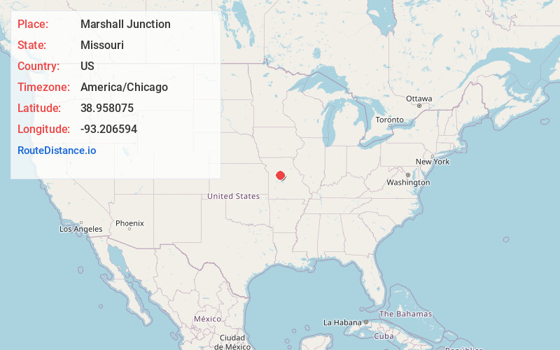
Full AddressMarshall Junction, MO 65340
-
Coordinates38.9580751, -93.206594
-
LocationMarshall Junction , Missouri , US
-
TimezoneAmerica/Chicago
-
Current Local Time2:12:17 PM America/ChicagoMonday, May 19, 2025
-
Page Views0
About Marshall Junction
Marshall Junction is an unincorporated community in Saline County, Missouri, United States. Marshall Junction is located at the junction of Interstate 70 and U.S. Route 65, 12 miles south of Marshall.
Nearby Places
Found 10 places within 50 miles

Blue Lick
3.8 mi
6.1 km
Blue Lick, Salt Fork Township, MO 65340
Get directions
Longwood
4.5 mi
7.2 km
Longwood, MO 65334
Get directions
Herndon
4.7 mi
7.6 km
Herndon, MO 65351
Get directions
Ridge Prairie
7.4 mi
11.9 km
Ridge Prairie, MO 65347
Get directions
Postal
7.8 mi
12.6 km
Postal, Heath Creek Township, MO 65347
Get directions
Cretcher
8.1 mi
13.0 km
Cretcher, MO 65351
Get directions
Houstonia
9.1 mi
14.6 km
Houstonia, MO 65333
Get directions
Napton
9.3 mi
15.0 km
Napton, MO 65340
Get directions
Wilton Springs
9.3 mi
15.0 km
Wilton Springs, MO 65340
Get directions
Hughesville
9.5 mi
15.3 km
Hughesville, MO 65334
Get directions
Location Links
Local Weather
Weather Information
Coming soon!
Location Map
Static map view of Marshall Junction, Missouri
Browse Places by Distance
Places within specific distances from Marshall Junction
Short Distances
Long Distances
Click any distance to see all places within that range from Marshall Junction. Distances shown in miles (1 mile ≈ 1.61 kilometers).