Distance to Marshland, Oregon

Calculating Your Route
Just a moment while we process your request...
Location Information
-
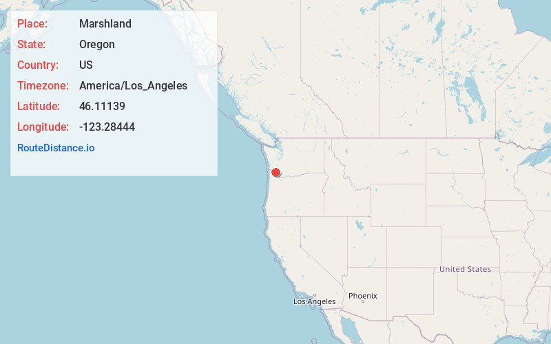
Full AddressMarshland, OR 97016
-
Coordinates46.11139, -123.28444
-
LocationMarshland , Oregon , US
-
TimezoneAmerica/Los_Angeles
-
Current Local Time5:11:03 AM America/Los_AngelesTuesday, June 17, 2025
-
Page Views0
About Marshland
Marshland, formerly known as Skunk Cabbage Flat, is an unincorporated community in Columbia County, Oregon, United States. It was settled by Z.B. Bryant in 1862. Its post office was established around 1873. It closed in 1960.


Nearby Places
Found 10 places within 50 miles

Woodson
1.9 mi
3.1 km
Woodson, OR 97016
Get directions

Kerry
3.2 mi
5.1 km
Kerry, OR 97016
Get directions

Clatskanie
3.9 mi
6.3 km
Clatskanie, OR 97016
Get directions

Westport
4.6 mi
7.4 km
Westport, OR 97016
Get directions

Clatskanie Heights
5.4 mi
8.7 km
Clatskanie Heights, OR 97016
Get directions
Inglis
5.8 mi
9.3 km
Inglis, OR 97016
Get directions
Taylorville
5.9 mi
9.5 km
Taylorville, OR 97016
Get directions
Oklahoma Hill
6.2 mi
10.0 km
Oklahoma Hill, OR 97016
Get directions
Quincy
6.4 mi
10.3 km
Quincy, OR 97016
Get directions

Wauna
6.6 mi
10.6 km
Wauna, OR 97016
Get directions
Location Links
Local Weather
Weather Information
Coming soon!
Location Map
Static map view of Marshland, Oregon
Browse Places by Distance
Places within specific distances from Marshland
Short Distances
Long Distances
Click any distance to see all places within that range from Marshland. Distances shown in miles (1 mile ≈ 1.61 kilometers).