Distance to Kerry, Oregon

Calculating Your Route
Just a moment while we process your request...
Location Information
-
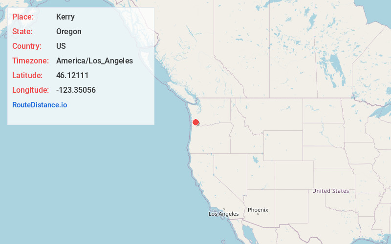
Full AddressKerry, OR 97016
-
Coordinates46.12111, -123.35056
-
LocationKerry , Oregon , US
-
TimezoneAmerica/Los_Angeles
-
Current Local Time1:38:21 AM America/Los_AngelesSunday, June 22, 2025
-
Page Views0
About Kerry
Kerry is an unincorporated community in Columbia County, Oregon, United States, located about 30 miles east of Astoria. It was founded to extend the Columbia & Nehalem River Railroad and named in 1912 by lumberman Albert S. Kerry. In the 1920s it had about 200 inhabitants.

Nearby Places
Found 10 places within 50 miles

Westport
1.4 mi
2.3 km
Westport, OR 97016
Get directions

East Cathlamet
5.3 mi
8.5 km
East Cathlamet, WA 98612
Get directions

Cathlamet
5.9 mi
9.5 km
Cathlamet, WA 98612
Get directions

Lower Elochoman
6.9 mi
11.1 km
Lower Elochoman, WA 98612
Get directions

Clatskanie
7.1 mi
11.4 km
Clatskanie, OR 97016
Get directions
Puget Island Range
7.1 mi
11.4 km
Puget Island Range, Washington 98612
Get directions
Upper Elochoman
8.4 mi
13.5 km
Upper Elochoman, WA 98612
Get directions

Knappa
12.1 mi
19.5 km
Knappa, OR 97103
Get directions

Svensen
15.1 mi
24.3 km
Svensen, OR 97103
Get directions

Altoona
17.8 mi
28.6 km
Altoona, WA 98643
Get directions
Location Links
Local Weather
Weather Information
Coming soon!
Location Map
Static map view of Kerry, Oregon
Browse Places by Distance
Places within specific distances from Kerry
Short Distances
Long Distances
Click any distance to see all places within that range from Kerry. Distances shown in miles (1 mile ≈ 1.61 kilometers).