Distance to Martel, Florida

Calculating Your Route
Just a moment while we process your request...
Location Information
-
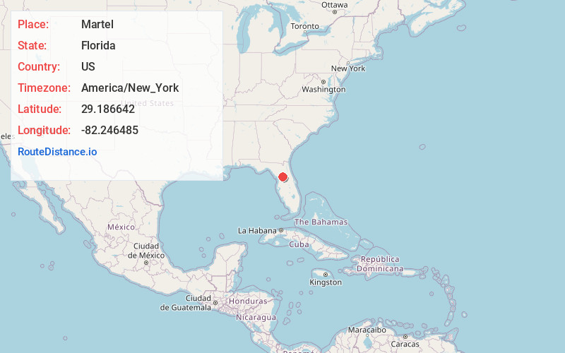
Full AddressMartel, FL 34474
-
Coordinates29.1866423, -82.246485
-
LocationFlorida , US
-
TimezoneAmerica/New_York
-
Current Local Time1:37:23 PM America/New_YorkTuesday, June 17, 2025
-
Page Views0
Nearby Places
Found 10 places within 50 miles

Mt Olive
2.5 mi
4.0 km
Mt Olive, FL 34482
Get directions
York
4.1 mi
6.6 km
York, FL 34481
Get directions
Fellowship
5.0 mi
8.0 km
Fellowship, FL 34482
Get directions
Kendrick
6.6 mi
10.6 km
Kendrick, FL 34475
Get directions

Ocala
6.8 mi
10.9 km
Ocala, FL
Get directions
Zuber
6.8 mi
10.9 km
Zuber, FL 34475
Get directions
Rolling Hills
7.2 mi
11.6 km
Rolling Hills, FL 34481
Get directions
Martin
8.1 mi
13.0 km
Martin, FL 34475
Get directions
Camp Roosevelt
8.4 mi
13.5 km
Camp Roosevelt, FL 34480
Get directions
Hoyt
9.2 mi
14.8 km
Hoyt, FL 34481
Get directions
Location Links
Local Weather
Weather Information
Coming soon!
Location Map
Static map view of Martel, Florida
Browse Places by Distance
Places within specific distances from Martel
Short Distances
Long Distances
Click any distance to see all places within that range from Martel. Distances shown in miles (1 mile ≈ 1.61 kilometers).