Distance to Maryknoll, Missouri

Calculating Your Route
Just a moment while we process your request...
Location Information
-
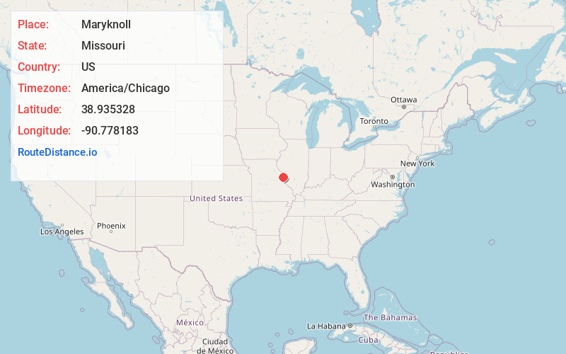
Full AddressMaryknoll, MO 63369
-
Coordinates38.9353283, -90.778183
-
LocationMaryknoll , Missouri , US
-
TimezoneAmerica/Chicago
-
Current Local Time11:43:52 PM America/ChicagoSaturday, June 21, 2025
-
Page Views0
Nearby Places
Found 10 places within 50 miles

Old Monroe
1.7 mi
2.7 km
Old Monroe, MO
Get directions

Chain of Rocks
1.9 mi
3.1 km
Chain of Rocks, MO 63369
Get directions

Fountain N' Lakes
4.5 mi
7.2 km
Fountain N' Lakes, MO 63362
Get directions

Winfield
4.8 mi
7.7 km
Winfield, MO 63389
Get directions
St Paul
5.5 mi
8.9 km
St Paul, MO 63366
Get directions
Cap Au Gris
6.4 mi
10.3 km
Cap Au Gris, MO 63389
Get directions
Josephville
6.5 mi
10.5 km
Josephville, MO
Get directions
Flint Hill
7.1 mi
11.4 km
Flint Hill, MO
Get directions
Beechville
7.4 mi
11.9 km
Beechville, IL 62006
Get directions

Moscow Mills
7.6 mi
12.2 km
Moscow Mills, MO 63362
Get directions
Location Links
Local Weather
Weather Information
Coming soon!
Location Map
Static map view of Maryknoll, Missouri
Browse Places by Distance
Places within specific distances from Maryknoll
Short Distances
Long Distances
Click any distance to see all places within that range from Maryknoll. Distances shown in miles (1 mile ≈ 1.61 kilometers).