Distance to Mattawana, Pennsylvania

Calculating Your Route
Just a moment while we process your request...
Location Information
-
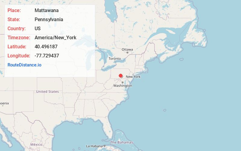
Full AddressMattawana, PA
-
Coordinates40.4961865, -77.7294372
-
LocationMattawana , Pennsylvania , US
-
TimezoneAmerica/New_York
-
Current Local Time5:19:19 AM America/New_YorkWednesday, June 18, 2025
-
Page Views0
About Mattawana
Mattawana is a census-designated place located in Bratton Township, Mifflin County in the state of Pennsylvania, United States on the east bank of the Juniata River. The community is located near the junction of U.S. Route 522 and Pennsylvania Route 103, across the river from the borough of McVeytown.
Nearby Places
Found 10 places within 50 miles

Strodes Mills
4.8 mi
7.7 km
Strodes Mills, PA
Get directions

Menno
6.1 mi
9.8 km
Menno, PA 17004
Get directions
Granville
6.7 mi
10.8 km
Granville, PA
Get directions

Belleville
7.5 mi
12.1 km
Belleville, PA 17004
Get directions
Lack Township
9.9 mi
15.9 km
Lack Township, PA
Get directions
Juniata Terrace
10.1 mi
16.3 km
Juniata Terrace, PA 17044
Get directions

Lewistown
10.9 mi
17.5 km
Lewistown, PA 17044
Get directions

Mt Union
11.1 mi
17.9 km
Mt Union, PA 17066
Get directions
Mill Creek
11.4 mi
18.3 km
Mill Creek, PA
Get directions
Beale Township
11.9 mi
19.2 km
Beale Township, PA
Get directions
Location Links
Local Weather
Weather Information
Coming soon!
Location Map
Static map view of Mattawana, Pennsylvania
Browse Places by Distance
Places within specific distances from Mattawana
Short Distances
Long Distances
Click any distance to see all places within that range from Mattawana. Distances shown in miles (1 mile ≈ 1.61 kilometers).