Distance to Mattydale, New York

Calculating Your Route
Just a moment while we process your request...
Location Information
-
Full AddressMattydale, NY
-
Coordinates43.0954438, -76.1464757
-
LocationMattydale , New York , US
-
TimezoneAmerica/New_York
-
Current Local Time4:47:28 AM America/New_YorkSaturday, May 31, 2025
-
Page Views0
About Mattydale
Mattydale is a hamlet in Onondaga County, New York, United States. The population was 6,446 at the 2010 census.
Mattydale is a community in the northeast part of the town of Salina and is a northern suburb of Syracuse.
Mattydale was named for the farm of Frank Matty.
Nearby Places
Found 10 places within 50 miles

North Syracuse
2.8 mi
4.5 km
North Syracuse, NY
Get directions

Syracuse
3.2 mi
5.1 km
Syracuse, NY
Get directions

De Witt
5.4 mi
8.7 km
De Witt, NY
Get directions

Fairmount
5.7 mi
9.2 km
Fairmount, NY
Get directions

Van Buren
8.0 mi
12.9 km
Van Buren, NY 13027
Get directions

Camillus
8.9 mi
14.3 km
Camillus, NY 13031
Get directions

Baldwinsville
10.4 mi
16.7 km
Baldwinsville, NY 13027
Get directions
Onondaga
10.4 mi
16.7 km
Onondaga, NY 13215
Get directions

Manlius
10.7 mi
17.2 km
Manlius, NY 13104
Get directions
Marcellus
12.5 mi
20.1 km
Marcellus, NY 13108
Get directions
Location Links
Local Weather
Weather Information
Coming soon!
Location Map
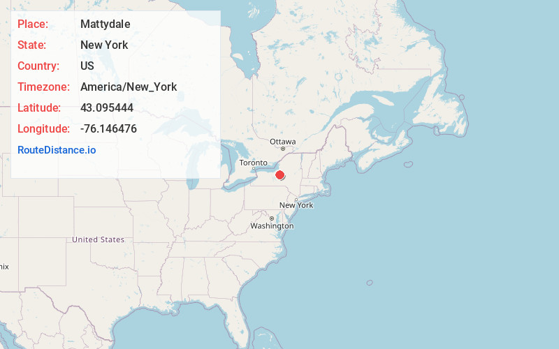
Static map view of Mattydale, New York
Browse Places by Distance
Places within specific distances from Mattydale
Short Distances
Long Distances
Click any distance to see all places within that range from Mattydale. Distances shown in miles (1 mile ≈ 1.61 kilometers).