Distance to Maunie, Illinois

Calculating Your Route
Just a moment while we process your request...
Location Information
-
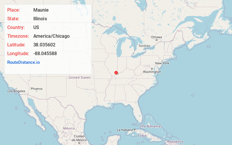
Full AddressMaunie, IL
-
Coordinates38.0356015, -88.0455883
-
LocationMaunie , Illinois , US
-
TimezoneAmerica/Chicago
-
Current Local Time7:50:25 PM America/ChicagoTuesday, June 24, 2025
-
Page Views0
About Maunie
Maunie is a village in White County, Illinois, United States. The population was 177 at the 2000 census.
Nearby Places
Found 10 places within 50 miles

Carmi
7.2 mi
11.6 km
Carmi, IL 62821
Get directions

Crossville
8.8 mi
14.2 km
Crossville, IL 62827
Get directions

New Harmony
8.9 mi
14.3 km
New Harmony, IN 47631
Get directions

New Haven
9.9 mi
15.9 km
New Haven, IL 62867
Get directions

Mt Vernon
10.9 mi
17.5 km
Mt Vernon, IN 47620
Get directions

Wadesville
14.9 mi
24.0 km
Wadesville, IN
Get directions

Stewartsville
15.5 mi
24.9 km
Stewartsville, IN 47633
Get directions

Grayville
15.6 mi
25.1 km
Grayville, IL 62844
Get directions

Norris City
15.9 mi
25.6 km
Norris City, IL 62869
Get directions

Enfield
16.5 mi
26.6 km
Enfield, IL 62835
Get directions
Location Links
Local Weather
Weather Information
Coming soon!
Location Map
Static map view of Maunie, Illinois
Browse Places by Distance
Places within specific distances from Maunie
Short Distances
Long Distances
Click any distance to see all places within that range from Maunie. Distances shown in miles (1 mile ≈ 1.61 kilometers).