Distance to Max, Minnesota

Calculating Your Route
Just a moment while we process your request...
Location Information
-
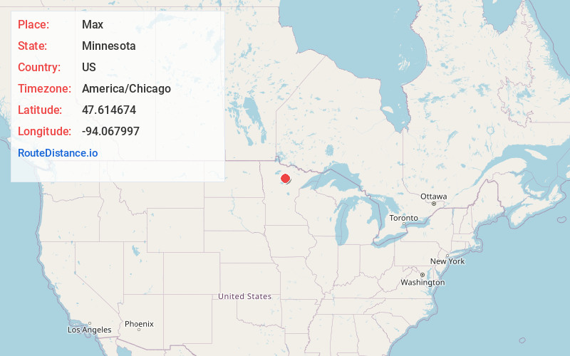
Full AddressMax, MN 56659
-
Coordinates47.6146742, -94.067997
-
LocationMax , Minnesota , US
-
TimezoneAmerica/Chicago
-
Current Local Time1:19:37 AM America/ChicagoThursday, June 19, 2025
-
Page Views0
About Max
Max is an unincorporated community in Max Township, Itasca County, Minnesota, United States; located within the Chippewa National Forest and the Leech Lake Indian Reservation.
The community is located southeast of Squaw Lake at the junction of Itasca County Roads 4 and 34. State Highway 46 is nearby.
Nearby Places
Found 10 places within 50 miles

Oslund
3.3 mi
5.3 km
Oslund, MN 56680
Get directions

Squaw Lake
3.4 mi
5.5 km
Squaw Lake, MN
Get directions

Inger
5.7 mi
9.2 km
Inger, MN 56636
Get directions
Dunbar
7.9 mi
12.7 km
Dunbar, MN 56630
Get directions
Dora Lake
8.7 mi
14.0 km
Dora Lake, MN 56661
Get directions
Wirt
9.5 mi
15.3 km
Wirt, MN 56659
Get directions
Rosy
11.5 mi
18.5 km
Rosy, MN 56681
Get directions
Jessie Lake
11.7 mi
18.8 km
Jessie Lake, MN 56637
Get directions
Alvwood
12.3 mi
19.8 km
Alvwood, MN 56630
Get directions
Bowstring
13.6 mi
21.9 km
Bowstring, MN 56636
Get directions
Location Links
Local Weather
Weather Information
Coming soon!
Location Map
Static map view of Max, Minnesota
Browse Places by Distance
Places within specific distances from Max
Short Distances
Long Distances
Click any distance to see all places within that range from Max. Distances shown in miles (1 mile ≈ 1.61 kilometers).