Distance to Maxfield, Maine

Calculating Your Route
Just a moment while we process your request...
Location Information
-
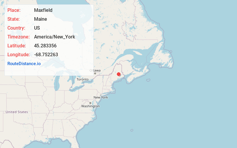
Full AddressMaxfield, ME
-
Coordinates45.2833559, -68.7522632
-
LocationMaxfield , Maine , US
-
TimezoneAmerica/New_York
-
Current Local Time10:26:23 PM America/New_YorkWednesday, June 18, 2025
-
Page Views0
About Maxfield
Maxfield is a town in Penobscot County, Maine, United States. The population was 89 at the 2020 census.


Nearby Places
Found 10 places within 50 miles

Medford
4.8 mi
7.7 km
Medford, ME 04463
Get directions
Howland
5.3 mi
8.5 km
Howland, ME
Get directions
Edinburg
8.0 mi
12.9 km
Edinburg, ME
Get directions

Lagrange
9.2 mi
14.8 km
Lagrange, ME
Get directions

Enfield
9.4 mi
15.1 km
Enfield, ME 04493
Get directions
Passadumkeag
9.5 mi
15.3 km
Passadumkeag, ME
Get directions

Milo
11.6 mi
18.7 km
Milo, ME
Get directions

Lincoln
13.2 mi
21.2 km
Lincoln, ME 04457
Get directions

Greenbush
14.9 mi
24.0 km
Greenbush, ME 04418
Get directions

Chester
15.0 mi
24.1 km
Chester, ME 04457
Get directions
Location Links
Local Weather
Weather Information
Coming soon!
Location Map
Static map view of Maxfield, Maine
Browse Places by Distance
Places within specific distances from Maxfield
Short Distances
Long Distances
Click any distance to see all places within that range from Maxfield. Distances shown in miles (1 mile ≈ 1.61 kilometers).