Distance to Maxwell, California

Calculating Your Route
Just a moment while we process your request...
Location Information
-
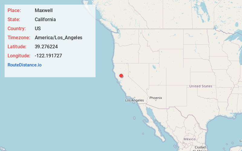
Full AddressMaxwell, CA 95955
-
Coordinates39.2762238, -122.1917266
-
LocationMaxwell , California , US
-
TimezoneAmerica/Los_Angeles
-
Current Local Time2:30:23 PM America/Los_AngelesWednesday, June 25, 2025
-
Page Views0
About Maxwell
Maxwell is a census-designated place and farm community in Colusa County, California. It lies at an elevation of 95 feet. Located off Interstate 5, it is home to Maxwell High School. The main crop grown is rice, though a variety of others such as grapes, almonds, olives, squash, and sunflowers are grown as well.


Nearby Places
Found 10 places within 50 miles

Williams
8.7 mi
14.0 km
Williams, CA 95987
Get directions

Colusa
10.7 mi
17.2 km
Colusa, CA 95932
Get directions

Willows
17.1 mi
27.5 km
Willows, CA 95988
Get directions

Arbuckle
19.3 mi
31.1 km
Arbuckle, CA 95912
Get directions

Sutter
24.8 mi
39.9 km
Sutter, CA 95982
Get directions

Spring Valley
25.9 mi
41.7 km
Spring Valley, CA 95423
Get directions

Biggs
27.3 mi
43.9 km
Biggs, CA
Get directions

Gridley
27.3 mi
43.9 km
Gridley, CA 95948
Get directions

Live Oak
28.4 mi
45.7 km
Live Oak, CA 95953
Get directions

Clearlake
32.1 mi
51.7 km
Clearlake, CA
Get directions
Location Links
Local Weather
Weather Information
Coming soon!
Location Map
Static map view of Maxwell, California
Browse Places by Distance
Places within specific distances from Maxwell
Short Distances
Long Distances
Click any distance to see all places within that range from Maxwell. Distances shown in miles (1 mile ≈ 1.61 kilometers).