Distance to Maxwell, Nebraska

Calculating Your Route
Just a moment while we process your request...
Location Information
-
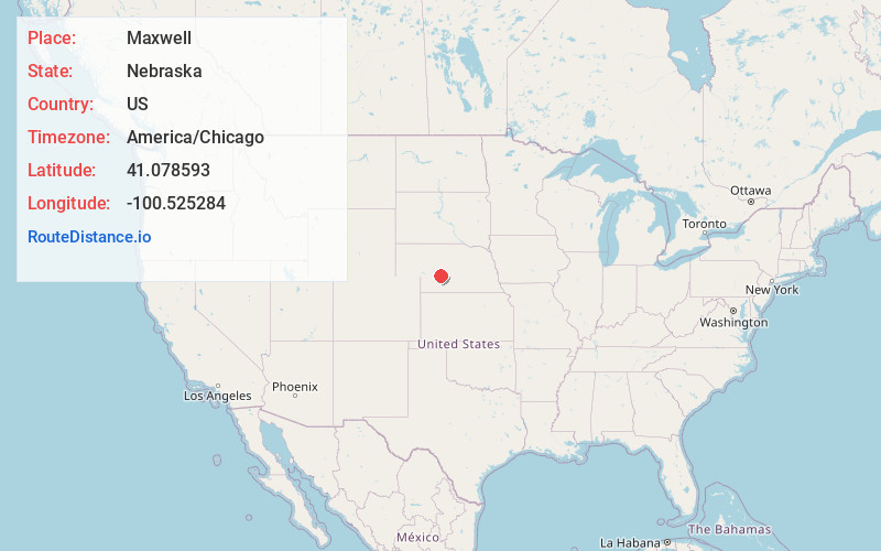
Full AddressMaxwell, NE 69151
-
Coordinates41.0785928, -100.5252843
-
LocationMaxwell , Nebraska , US
-
TimezoneAmerica/Chicago
-
Current Local Time11:00:17 AM America/ChicagoSaturday, June 21, 2025
-
Page Views0
About Maxwell
Maxwell is a village in Lincoln County, Nebraska, United States. It is part of the North Platte Micropolitan Statistical Area. The population was 312 at the 2010 census.

Nearby Places
Found 10 places within 50 miles

Brady
9.1 mi
14.6 km
Brady, NE 69123
Get directions

North Platte
12.9 mi
20.8 km
North Platte, NE 69101
Get directions

Gothenburg
21.7 mi
34.9 km
Gothenburg, NE 69138
Get directions

Hershey
25.5 mi
41.0 km
Hershey, NE
Get directions

Stapleton
27.8 mi
44.7 km
Stapleton, NE 69163
Get directions
Arnold
29.4 mi
47.3 km
Arnold, NE 69120
Get directions

Maywood
29.5 mi
47.5 km
Maywood, NE 69038
Get directions

Curtis
31.0 mi
49.9 km
Curtis, NE 69025
Get directions

Sutherland
31.8 mi
51.2 km
Sutherland, NE 69165
Get directions

Cozad
32.1 mi
51.7 km
Cozad, NE 69130
Get directions
Location Links
Local Weather
Weather Information
Coming soon!
Location Map
Static map view of Maxwell, Nebraska
Browse Places by Distance
Places within specific distances from Maxwell
Short Distances
Long Distances
Click any distance to see all places within that range from Maxwell. Distances shown in miles (1 mile ≈ 1.61 kilometers).