Distance to Maxwelton, Washington

Calculating Your Route
Just a moment while we process your request...
Location Information
-
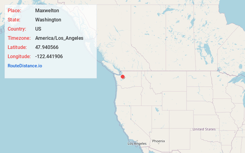
Full AddressMaxwelton, WA 98236
-
Coordinates47.940566, -122.4419057
-
LocationMaxwelton , Washington , US
-
TimezoneAmerica/Los_Angeles
-
Current Local Time5:50:10 PM America/Los_AngelesFriday, June 20, 2025
-
Page Views0
About Maxwelton
Maxwelton is an unincorporated community located on the south end of Whidbey Island, Washington.
A post office called Maxwelton was established in 1908 and remained in operation until 1924. The community was named after Maxwelltown, in Scotland.


Nearby Places
Found 10 places within 50 miles

Clinton
4.8 mi
7.7 km
Clinton, WA
Get directions

Hansville
5.4 mi
8.7 km
Hansville, WA
Get directions

Freeland
6.2 mi
10.0 km
Freeland, WA
Get directions

Mukilteo
6.4 mi
10.3 km
Mukilteo, WA
Get directions

Langley
7.1 mi
11.4 km
Langley, WA 98260
Get directions

Hat Island
7.5 mi
12.1 km
Hat Island, WA
Get directions

Picnic Point
7.6 mi
12.2 km
Picnic Point, WA
Get directions

Port Gamble
8.9 mi
14.3 km
Port Gamble, WA 98370
Get directions

Edmonds
9.4 mi
15.1 km
Edmonds, WA
Get directions

North Lynnwood
9.7 mi
15.6 km
North Lynnwood, WA
Get directions
Location Links
Local Weather
Weather Information
Coming soon!
Location Map
Static map view of Maxwelton, Washington
Browse Places by Distance
Places within specific distances from Maxwelton
Short Distances
Long Distances
Click any distance to see all places within that range from Maxwelton. Distances shown in miles (1 mile ≈ 1.61 kilometers).