Distance to Mayaro, California

Calculating Your Route
Just a moment while we process your request...
Location Information
-
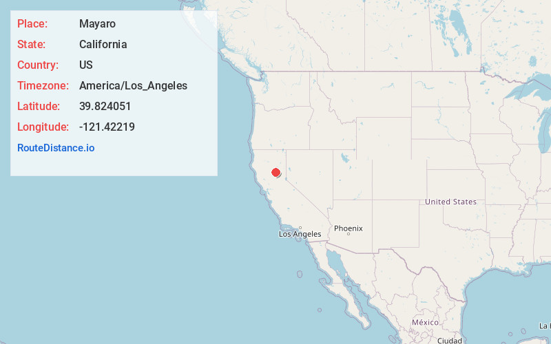
Full AddressMayaro, CA 95965
-
Coordinates39.8240511, -121.4221901
-
LocationCalifornia , US
-
TimezoneAmerica/Los_Angeles
-
Current Local Time10:14:57 PM America/Los_AngelesSunday, June 29, 2025
-
Page Views0
About Mayaro
Mayaro is an unincorporated community in Butte County, California. It lies on Camp Creek at an elevation of 1522 feet and is located at 39°49′27″N 121°25′20″W. A post office operated at Mayaro from 1930 to 1956. Mayaro was the site of a popular lodge that opened in 1928 and closed in the early 1970s.
Nearby Places
Found 10 places within 50 miles

Concow
5.2 mi
8.4 km
Concow, CA 95965
Get directions

Stirling City
7.9 mi
12.7 km
Stirling City, CA
Get directions

Magalia
8.3 mi
13.4 km
Magalia, CA
Get directions

Yankee Hill
9.1 mi
14.6 km
Yankee Hill, CA 95965
Get directions

Tobin
9.9 mi
15.9 km
Tobin, CA 95915
Get directions

Paradise
11.5 mi
18.5 km
Paradise, CA 95969
Get directions

Inskip
13.0 mi
20.9 km
Inskip, CA 95954
Get directions

Berry Creek
13.4 mi
21.6 km
Berry Creek, CA
Get directions

Bucks Lake
13.5 mi
21.7 km
Bucks Lake, CA
Get directions

Cherokee
13.8 mi
22.2 km
Cherokee, CA 95965
Get directions
Location Links
Local Weather
Weather Information
Coming soon!
Location Map
Static map view of Mayaro, California
Browse Places by Distance
Places within specific distances from Mayaro
Short Distances
Long Distances
Click any distance to see all places within that range from Mayaro. Distances shown in miles (1 mile ≈ 1.61 kilometers).