Distance to Maybee, Michigan

Calculating Your Route
Just a moment while we process your request...
Location Information
-
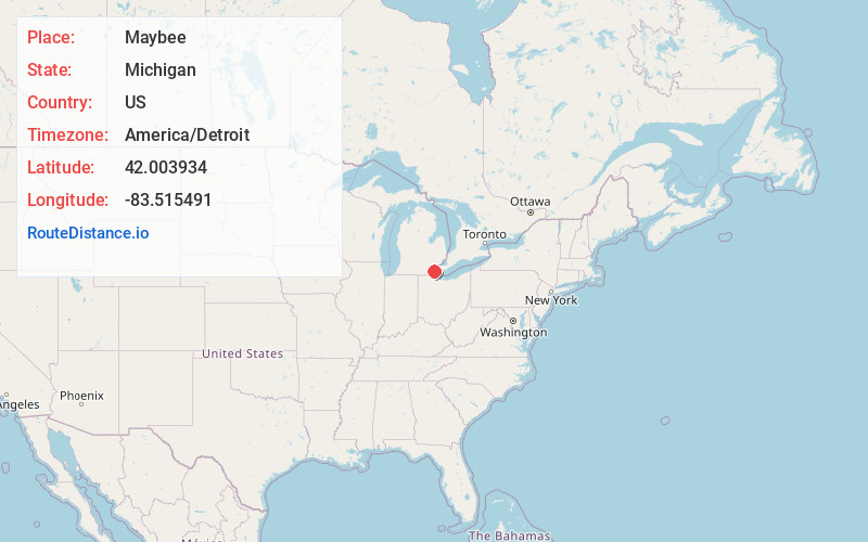
Full AddressMaybee, MI
-
Coordinates42.0039337, -83.5154905
-
LocationMaybee , Michigan , US
-
TimezoneAmerica/Detroit
-
Current Local Time5:01:39 PM America/DetroitWednesday, June 18, 2025
-
Website
-
Page Views0
About Maybee
Maybee is a village in Monroe County in the U.S. state of Michigan. The population was 545 at the 2020 census. The village is located within Exeter Township. Maybee was established in 1873 and incorporated as a village in 1899.


Nearby Places
Found 10 places within 50 miles

West Monroe
7.2 mi
11.6 km
West Monroe, MI 48161
Get directions

Carleton
7.5 mi
12.1 km
Carleton, MI 48117
Get directions

Dundee
8.1 mi
13.0 km
Dundee, MI 48131
Get directions

Monroe
8.6 mi
13.8 km
Monroe, MI
Get directions
South Monroe
9.1 mi
14.6 km
South Monroe, MI 48161
Get directions

Ida Township
9.1 mi
14.6 km
Ida Township, MI
Get directions

Milan
10.2 mi
16.4 km
Milan, MI 48160
Get directions
Detroit Beach
10.7 mi
17.2 km
Detroit Beach, MI 48162
Get directions

Woodland Beach
10.9 mi
17.5 km
Woodland Beach, MI 48162
Get directions

Petersburg
12.5 mi
20.1 km
Petersburg, MI
Get directions
Location Links
Local Weather
Weather Information
Coming soon!
Location Map
Static map view of Maybee, Michigan
Browse Places by Distance
Places within specific distances from Maybee
Short Distances
Long Distances
Click any distance to see all places within that range from Maybee. Distances shown in miles (1 mile ≈ 1.61 kilometers).