Distance to Dundee, Michigan

Calculating Your Route
Just a moment while we process your request...
Location Information
-
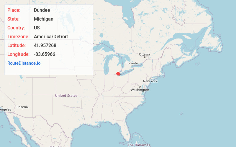
Full AddressDundee, MI 48131
-
Coordinates41.9572676, -83.6596596
-
LocationDundee , Michigan , US
-
TimezoneAmerica/Detroit
-
Current Local Time6:43:31 PM America/DetroitThursday, June 12, 2025
-
Page Views0
About Dundee
Dundee is a village in Monroe County in the U.S. state of Michigan. The population was 5,323 at the 2020 census, up from 3,957 in 2010. The village is within Dundee Township and is served by Dundee Community Schools.
Settled as early as 1823, Dundee was incorporated as a village in 1855.


Nearby Places
Found 10 places within 50 miles

Milan
8.9 mi
14.3 km
Milan, MI 48160
Get directions

Temperance
13.2 mi
21.2 km
Temperance, MI 48182
Get directions

South Monroe
13.3 mi
21.4 km
South Monroe, MI 48161
Get directions

Monroe
13.8 mi
22.2 km
Monroe, MI
Get directions

Lambertville
14.2 mi
22.9 km
Lambertville, MI
Get directions

Tecumseh
15.0 mi
24.1 km
Tecumseh, MI 49286
Get directions

Saline
15.8 mi
25.4 km
Saline, MI 48176
Get directions

Sylvania
16.7 mi
26.9 km
Sylvania, OH
Get directions

Ypsilanti
19.8 mi
31.9 km
Ypsilanti, MI
Get directions

Adrian
19.8 mi
31.9 km
Adrian, MI 49221
Get directions
Location Links
Local Weather
Weather Information
Coming soon!
Location Map
Static map view of Dundee, Michigan
Browse Places by Distance
Places within specific distances from Dundee
Short Distances
Long Distances
Click any distance to see all places within that range from Dundee. Distances shown in miles (1 mile ≈ 1.61 kilometers).