Distance to Mayer, Minnesota

Calculating Your Route
Just a moment while we process your request...
Location Information
-
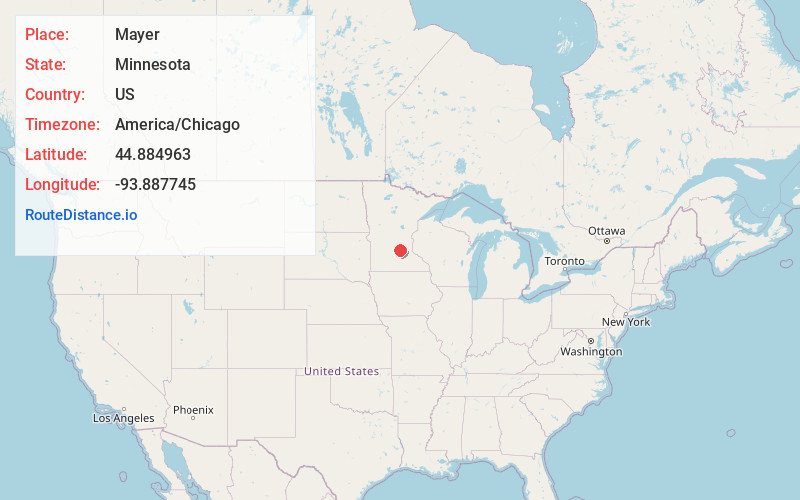
Full AddressMayer, MN 55360
-
Coordinates44.8849625, -93.8877453
-
LocationMayer , Minnesota , US
-
TimezoneAmerica/Chicago
-
Current Local Time11:46:48 PM America/ChicagoFriday, May 30, 2025
-
Website
-
Page Views0
About Mayer
Mayer is a community in Carver County, Minnesota, United States, along the South Fork of the Crow River. The population was 1,749 at the 2010 census.
Nearby Places
Found 10 places within 50 miles

Waconia
5.5 mi
8.9 km
Waconia, MN
Get directions

Watertown
5.8 mi
9.3 km
Watertown, MN
Get directions

Norwood Young America
7.9 mi
12.7 km
Norwood Young America, MN
Get directions

Minnetrista
9.1 mi
14.6 km
Minnetrista, MN
Get directions

Victoria
11.2 mi
18.0 km
Victoria, MN
Get directions

Mound
11.4 mi
18.3 km
Mound, MN
Get directions

Delano
11.9 mi
19.2 km
Delano, MN 55328
Get directions

Montrose
12.8 mi
20.6 km
Montrose, MN 55363
Get directions

Independence
13.1 mi
21.1 km
Independence, MN
Get directions

Shorewood
14.9 mi
24.0 km
Shorewood, MN 55331
Get directions
Location Links
Local Weather
Weather Information
Coming soon!
Location Map
Static map view of Mayer, Minnesota
Browse Places by Distance
Places within specific distances from Mayer
Short Distances
Long Distances
Click any distance to see all places within that range from Mayer. Distances shown in miles (1 mile ≈ 1.61 kilometers).