Distance to McClelland, Iowa

Calculating Your Route
Just a moment while we process your request...
Location Information
-
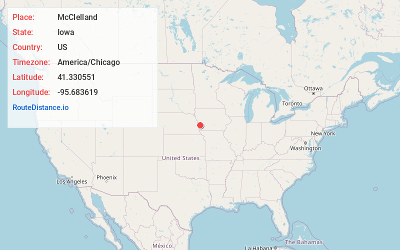
Full AddressMcClelland, IA
-
Coordinates41.3305512, -95.6836185
-
LocationMcClelland , Iowa , US
-
TimezoneAmerica/Chicago
-
Current Local Time5:42:51 PM America/ChicagoWednesday, June 18, 2025
-
Page Views0
About McClelland
McClelland is a city in Pottawattamie County, Iowa, United States. The city was founded in 1903 after the Great Western Railroad was extended to include Council Bluffs. The population was 146 at the time of the 2020 census.
Nearby Places
Found 10 places within 50 miles

Underwood
3.9 mi
6.3 km
Underwood, IA 51576
Get directions
Bentley
4.6 mi
7.4 km
Bentley, IA
Get directions
Treynor
7.7 mi
12.4 km
Treynor, IA 51575
Get directions

Neola
8.9 mi
14.3 km
Neola, IA 51559
Get directions

Crescent
9.4 mi
15.1 km
Crescent, IA 51526
Get directions

Council Bluffs
10.3 mi
16.6 km
Council Bluffs, IA
Get directions

Minden
11.9 mi
19.2 km
Minden, IA 51553
Get directions

Carter Lake
12.5 mi
20.1 km
Carter Lake, IA
Get directions

Omaha
14.0 mi
22.5 km
Omaha, NE
Get directions

Oakland
15.0 mi
24.1 km
Oakland, IA 51560
Get directions
Location Links
Local Weather
Weather Information
Coming soon!
Location Map
Static map view of McClelland, Iowa
Browse Places by Distance
Places within specific distances from McClelland
Short Distances
Long Distances
Click any distance to see all places within that range from McClelland. Distances shown in miles (1 mile ≈ 1.61 kilometers).