Distance to McClure, Virginia

Calculating Your Route
Just a moment while we process your request...
Location Information
-
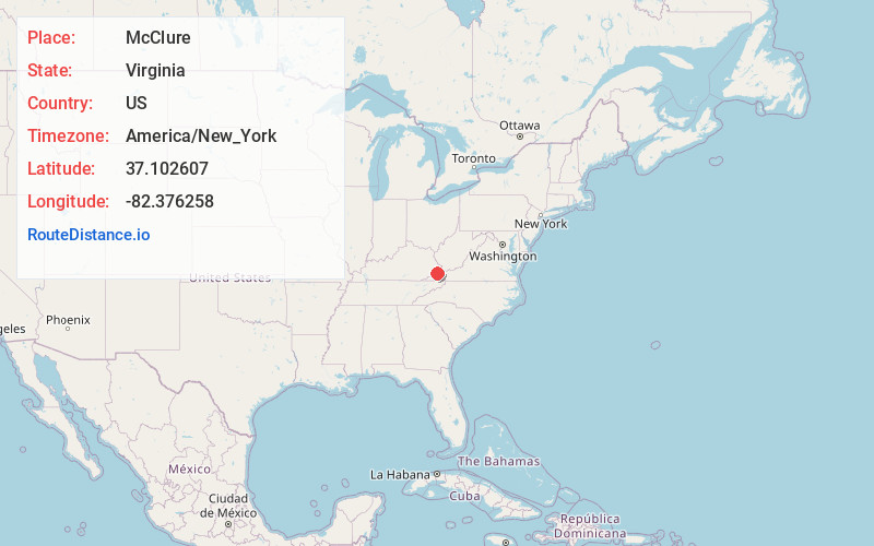
Full AddressMcClure, VA 24226
-
Coordinates37.1026065, -82.3762582
-
LocationMcClure , Virginia , US
-
TimezoneAmerica/New_York
-
Current Local Time10:28:24 AM America/New_YorkMonday, June 23, 2025
-
Page Views0
About McClure
McClure is an unincorporated community in Dickenson County, Virginia, United States. McClure is located along the McClure River and Virginia State Route 63, 5.5 miles southeast of Clintwood. McClure had a post office from 1919 until it closed on July 6, 2011; it still has its own ZIP code, 24269.
Nearby Places
Found 10 places within 50 miles

Nealy Ridge
2.3 mi
3.7 km
Nealy Ridge, VA 24226
Get directions
Omaha
3.2 mi
5.1 km
Omaha, VA 24228
Get directions
Rockhouse Ridge
4.1 mi
6.6 km
Rockhouse Ridge, Virginia 24230
Get directions
Clinchco
4.1 mi
6.6 km
Clinchco, VA
Get directions

Lockhart Flats
4.4 mi
7.1 km
Lockhart Flats, VA 24228
Get directions
Tenso
4.5 mi
7.2 km
Tenso, Clinchco, VA 24226
Get directions
Leck
4.7 mi
7.6 km
Leck, VA 24230
Get directions
Aily
5.1 mi
8.2 km
Aily, VA 24226
Get directions

Clintwood
5.5 mi
8.9 km
Clintwood, VA 24228
Get directions
Flemingtown
5.7 mi
9.2 km
Flemingtown, VA 24228
Get directions
Location Links
Local Weather
Weather Information
Coming soon!
Location Map
Static map view of McClure, Virginia
Browse Places by Distance
Places within specific distances from McClure
Short Distances
Long Distances
Click any distance to see all places within that range from McClure. Distances shown in miles (1 mile ≈ 1.61 kilometers).