Distance to McCreanor, Arkansas

Calculating Your Route
Just a moment while we process your request...
Location Information
-
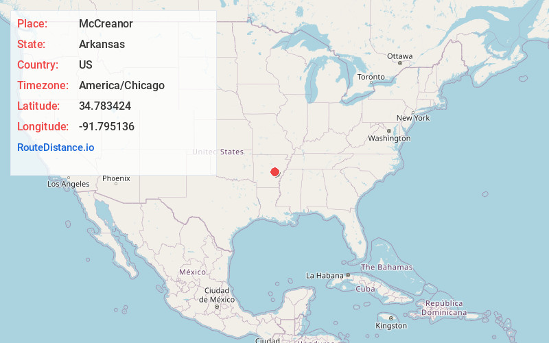
Full AddressMcCreanor, AR 72024
-
Coordinates34.7834244, -91.795136
-
LocationArkansas , US
-
TimezoneAmerica/Chicago
-
Current Local Time1:49:46 PM America/ChicagoTuesday, June 24, 2025
-
Page Views0
Nearby Places
Found 10 places within 50 miles

Carlisle
2.7 mi
4.3 km
Carlisle, AR 72024
Get directions

Sisemore
3.2 mi
5.1 km
Sisemore, AR 72086
Get directions
Brownsville
5.4 mi
8.7 km
Brownsville, AR 72086
Get directions

Lonoke
6.0 mi
9.7 km
Lonoke, AR 72086
Get directions
Screeton
7.3 mi
11.7 km
Screeton, AR 72064
Get directions
Pettus
9.9 mi
15.9 km
Pettus, AR 72086
Get directions
Woodlawn
10.6 mi
17.1 km
Woodlawn, AR 72007
Get directions

Furlow
11.1 mi
17.9 km
Furlow, AR 72086
Get directions
Meto
11.4 mi
18.3 km
Meto, AR 72086
Get directions
Union Valley
11.9 mi
19.2 km
Union Valley, AR 72086
Get directions
Location Links
Local Weather
Weather Information
Coming soon!
Location Map
Static map view of McCreanor, Arkansas
Browse Places by Distance
Places within specific distances from McCreanor
Short Distances
Long Distances
Click any distance to see all places within that range from McCreanor. Distances shown in miles (1 mile ≈ 1.61 kilometers).