Distance to Union Valley, Arkansas

Calculating Your Route
Just a moment while we process your request...
Location Information
-
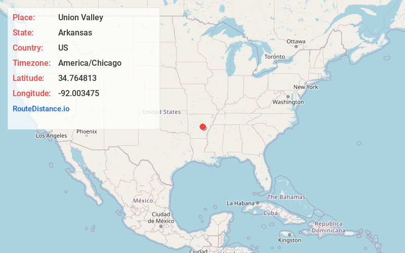
Full AddressUnion Valley, AR 72086
-
Coordinates34.7648126, -92.0034748
-
LocationArkansas , US
-
TimezoneAmerica/Chicago
-
Current Local Time3:44:07 AM America/ChicagoWednesday, June 18, 2025
-
Page Views0
Nearby Places
Found 10 places within 50 miles

Meto
1.5 mi
2.4 km
Meto, AR 72086
Get directions
Kerr
3.5 mi
5.6 km
Kerr, AR 72142
Get directions

Lonoke
6.0 mi
9.7 km
Lonoke, AR 72086
Get directions

Scott
7.1 mi
11.4 km
Scott, AR
Get directions
Hamiter
8.0 mi
12.9 km
Hamiter, AR 72142
Get directions

Jacksonville
10.0 mi
16.1 km
Jacksonville, AR
Get directions
McAlmont
11.1 mi
17.9 km
McAlmont, AR 72117
Get directions

Keo
11.2 mi
18.0 km
Keo, AR 72046
Get directions

Sherwood
11.6 mi
18.7 km
Sherwood, AR
Get directions
Woodlawn
13.1 mi
21.1 km
Woodlawn, AR 72007
Get directions
Location Links
Local Weather
Weather Information
Coming soon!
Location Map
Static map view of Union Valley, Arkansas
Browse Places by Distance
Places within specific distances from Union Valley
Short Distances
Long Distances
Click any distance to see all places within that range from Union Valley. Distances shown in miles (1 mile ≈ 1.61 kilometers).