Distance to Scott, Arkansas

Calculating Your Route
Just a moment while we process your request...
Location Information
-
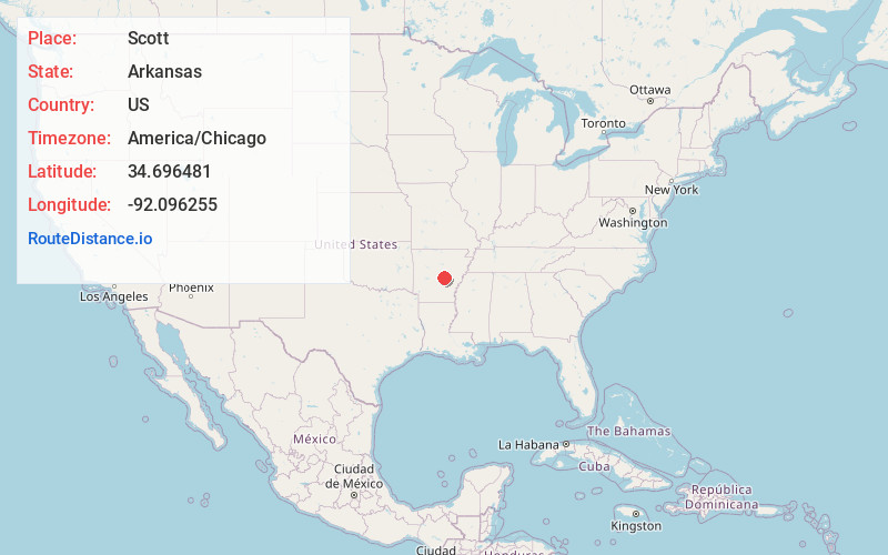
Full AddressScott, AR
-
Coordinates34.6964808, -92.0962552
-
LocationScott , Arkansas , US
-
TimezoneAmerica/Chicago
-
Current Local Time8:18:47 AM America/ChicagoSaturday, June 21, 2025
-
Page Views0
About Scott
Scott is an unincorporated community and census-designated place in Lonoke and Pulaski counties in the central part of the U.S. state of Arkansas. Per the 2020 census, the population was 97. It is part of the Little Rock–North Little Rock–Conway Metropolitan Statistical Area.


Nearby Places
Found 10 places within 50 miles

College Station
7.4 mi
11.9 km
College Station, AR 72206
Get directions

Keo
8.1 mi
13.0 km
Keo, AR 72046
Get directions

Sweet Home
8.3 mi
13.4 km
Sweet Home, AR 72206
Get directions
McAlmont
8.6 mi
13.8 km
McAlmont, AR 72117
Get directions

Wrightsville
8.9 mi
14.3 km
Wrightsville, AR 72206
Get directions

Sherwood
10.8 mi
17.4 km
Sherwood, AR
Get directions

Little Rock
11.4 mi
18.3 km
Little Rock, AR
Get directions

Jacksonville
11.9 mi
19.2 km
Jacksonville, AR
Get directions

Lonoke
12.7 mi
20.4 km
Lonoke, AR 72086
Get directions

England
12.8 mi
20.6 km
England, AR 72046
Get directions
Location Links
Local Weather
Weather Information
Coming soon!
Location Map
Static map view of Scott, Arkansas
Browse Places by Distance
Places within specific distances from Scott
Short Distances
Long Distances
Click any distance to see all places within that range from Scott. Distances shown in miles (1 mile ≈ 1.61 kilometers).