Distance to McDade, North Carolina

Calculating Your Route
Just a moment while we process your request...
Location Information
-
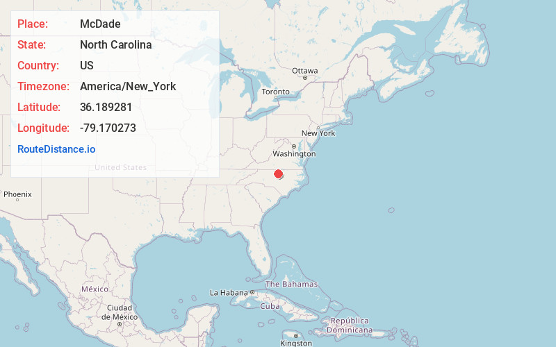
Full AddressMcDade, NC 27231
-
Coordinates36.189281, -79.170273
-
LocationMcDade , North Carolina , US
-
TimezoneAmerica/New_York
-
Current Local Time7:44:12 PM America/New_YorkSaturday, June 7, 2025
-
Page Views0
About McDade
McDade is an unincorporated community in Orange County, North Carolina, United States, located between Carr and Cedar Grove. It lies at an elevation of 728 feet.
Nearby Places
Found 10 places within 50 miles

Cedar Grove
1.5 mi
2.4 km
Cedar Grove, NC 27231
Get directions

Carr
3.2 mi
5.1 km
Carr, NC 27302
Get directions

Prospect Hill
4.3 mi
6.9 km
Prospect Hill, NC 27314
Get directions
Laws
4.5 mi
7.2 km
Laws, NC 27541
Get directions
Just Crossroads
6.2 mi
10.0 km
Just Crossroads, NC 27217
Get directions
Gordonton
6.8 mi
10.9 km
Gordonton, NC 27541
Get directions

Efland
7.5 mi
12.1 km
Efland, NC
Get directions

Mebane
8.5 mi
13.7 km
Mebane, NC
Get directions
Caldwell
8.5 mi
13.7 km
Caldwell, NC 27572
Get directions
Pleasant Grove
8.7 mi
14.0 km
Pleasant Grove, NC 27217
Get directions
Location Links
Local Weather
Weather Information
Coming soon!
Location Map
Static map view of McDade, North Carolina
Browse Places by Distance
Places within specific distances from McDade
Short Distances
Long Distances
Click any distance to see all places within that range from McDade. Distances shown in miles (1 mile ≈ 1.61 kilometers).