Distance to McDaniel, Maryland

Calculating Your Route
Just a moment while we process your request...
Location Information
-
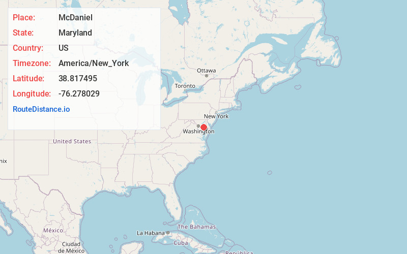
Full AddressMcDaniel, MD
-
Coordinates38.8174946, -76.2780287
-
LocationMcDaniel , Maryland , US
-
TimezoneAmerica/New_York
-
Current Local Time2:16:17 PM America/New_YorkTuesday, July 1, 2025
-
Page Views0
About McDaniel
McDaniel is an unincorporated community in Talbot County, Maryland, United States. McDaniel is located along Maryland Route 33, south of Claiborne and a short distance east of the Chesapeake Bay.


Nearby Places
Found 10 places within 50 miles

Claiborne
1.4 mi
2.3 km
Claiborne, MD 21624
Get directions

Crescendo
2.3 mi
3.7 km
Crescendo, MD 21676
Get directions

St Michaels
3.7 mi
6.0 km
St Michaels, MD 21663
Get directions
Sherwood
4.4 mi
7.1 km
Sherwood, MD 21665
Get directions
Romancoke
5.4 mi
8.7 km
Romancoke, MD 21666
Get directions
Copperville
5.8 mi
9.3 km
Copperville, MD 21601
Get directions
Tunis Mills
6.0 mi
9.7 km
Tunis Mills, MD 21601
Get directions
Bald Eagle Point
6.3 mi
10.1 km
Bald Eagle Point, Maryland 21665
Get directions
Neavitt
6.4 mi
10.3 km
Neavitt, MD 21652
Get directions
Mattapex
7.0 mi
11.3 km
Mattapex, MD 21666
Get directions
Location Links
Local Weather
Weather Information
Coming soon!
Location Map
Static map view of McDaniel, Maryland
Browse Places by Distance
Places within specific distances from McDaniel
Short Distances
Long Distances
Click any distance to see all places within that range from McDaniel. Distances shown in miles (1 mile ≈ 1.61 kilometers).