Distance to Neavitt, Maryland

Calculating Your Route
Just a moment while we process your request...
Location Information
-
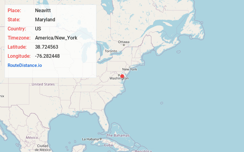
Full AddressNeavitt, MD 21652
-
Coordinates38.7245631, -76.2824482
-
LocationNeavitt , Maryland , US
-
TimezoneAmerica/New_York
-
Current Local Time7:57:46 AM America/New_YorkThursday, May 22, 2025
-
Page Views0
About Neavitt
Neavitt is an unincorporated community in Talbot County, Maryland, United States. Neavitt is located at the southern terminus of Maryland Route 579 on the north bank of the Choptank River, south-southwest of St. Michaels and northeast of Tilghman Island.
Nearby Places
Found 10 places within 50 miles

Bald Eagle Point
1.7 mi
2.7 km
Bald Eagle Point, Maryland 21665
Get directions

Tilghman Island
2.8 mi
4.5 km
Tilghman Island, MD
Get directions
Sherwood
3.2 mi
5.1 km
Sherwood, MD 21665
Get directions
Fairbank
4.0 mi
6.4 km
Fairbank, Tilghman Island, MD 21671
Get directions
Crescendo
4.3 mi
6.9 km
Crescendo, MD 21676
Get directions

St Michaels
5.3 mi
8.5 km
St Michaels, MD 21663
Get directions
Bellevue
5.5 mi
8.9 km
Bellevue, MD 21662
Get directions
Royal Oak
5.8 mi
9.3 km
Royal Oak, MD 21601
Get directions
Newcomb
6.1 mi
9.8 km
Newcomb, MD 21601
Get directions

Oxford
6.5 mi
10.5 km
Oxford, MD 21654
Get directions
Location Links
Local Weather
Weather Information
Coming soon!
Location Map
Static map view of Neavitt, Maryland
Browse Places by Distance
Places within specific distances from Neavitt
Short Distances
Long Distances
Click any distance to see all places within that range from Neavitt. Distances shown in miles (1 mile ≈ 1.61 kilometers).