Distance to Tilghman Island, Maryland

Calculating Your Route
Just a moment while we process your request...
Location Information
-
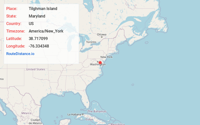
Full AddressTilghman Island, MD
-
Coordinates38.7170985, -76.3343479
-
LocationTilghman Island , Maryland , US
-
TimezoneAmerica/New_York
-
Current Local Time1:15:51 AM America/New_YorkThursday, May 29, 2025
-
Website
-
Page Views0
About Tilghman Island
Tilghman Island is an island in the Chesapeake Bay. It is part of Talbot County, Maryland, United States.


Nearby Places
Found 10 places within 50 miles

St Michaels
7.6 mi
12.2 km
St Michaels, MD 21663
Get directions

North Beach
10.6 mi
17.1 km
North Beach, MD
Get directions

Romancoke
11.3 mi
18.2 km
Romancoke, MD 21666
Get directions

Deale
12.6 mi
20.3 km
Deale, MD
Get directions

Shady Side
12.9 mi
20.8 km
Shady Side, MD
Get directions

Galesville
14.2 mi
22.9 km
Galesville, MD
Get directions
Owings
14.4 mi
23.2 km
Owings, MD 20736
Get directions

Easton
14.5 mi
23.3 km
Easton, MD 21601
Get directions

Mayo
15.2 mi
24.5 km
Mayo, MD
Get directions

Algonquin
15.4 mi
24.8 km
Algonquin, MD
Get directions
Location Links
Local Weather
Weather Information
Coming soon!
Location Map
Static map view of Tilghman Island, Maryland
Browse Places by Distance
Places within specific distances from Tilghman Island
Short Distances
Long Distances
Click any distance to see all places within that range from Tilghman Island. Distances shown in miles (1 mile ≈ 1.61 kilometers).