Distance to Shady Side, Maryland

Calculating Your Route
Just a moment while we process your request...
Location Information
-
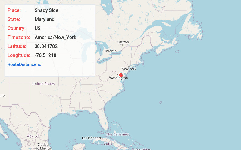
Full AddressShady Side, MD
-
Coordinates38.8417821, -76.5121798
-
LocationShady Side , Maryland , US
-
TimezoneAmerica/New_York
-
Current Local Time11:58:05 AM America/New_YorkTuesday, July 1, 2025
-
Page Views0
About Shady Side
Shady Side is a census-designated place in Anne Arundel County, Maryland, United States. The population was 5,803 at the 2010 census.


Nearby Places
Found 10 places within 50 miles

Mayo
3.2 mi
5.1 km
Mayo, MD
Get directions

Edgewater
7.4 mi
11.9 km
Edgewater, MD
Get directions

Riva
8.4 mi
13.5 km
Riva, MD
Get directions

Annapolis
9.4 mi
15.1 km
Annapolis, MD
Get directions

Parole
10.2 mi
16.4 km
Parole, MD
Get directions

Arnold
13.2 mi
21.2 km
Arnold, MD
Get directions

Brock Hall
13.3 mi
21.4 km
Brock Hall, MD
Get directions

Stevensville
14.3 mi
23.0 km
Stevensville, MD 21666
Get directions

Cape St Claire
14.4 mi
23.2 km
Cape St Claire, MD 21409
Get directions

Crofton
14.5 mi
23.3 km
Crofton, MD
Get directions
Location Links
Local Weather
Weather Information
Coming soon!
Location Map
Static map view of Shady Side, Maryland
Browse Places by Distance
Places within specific distances from Shady Side
Short Distances
Long Distances
Click any distance to see all places within that range from Shady Side. Distances shown in miles (1 mile ≈ 1.61 kilometers).