Distance to Oxford, Maryland

Calculating Your Route
Just a moment while we process your request...
Location Information
-
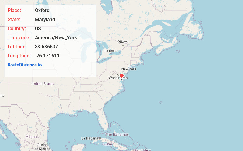
Full AddressOxford, MD 21654
-
Coordinates38.6865072, -76.1716108
-
LocationOxford , Maryland , US
-
TimezoneAmerica/New_York
-
Current Local Time6:22:30 AM America/New_YorkSunday, May 25, 2025
-
Page Views0
About Oxford
Oxford is a waterfront town and former colonial port in Talbot County, Maryland, United States. The population was 651 at the 2010 census.


Nearby Places
Found 10 places within 50 miles

Trappe
6.4 mi
10.3 km
Trappe, MD 21673
Get directions

St Michaels
7.4 mi
11.9 km
St Michaels, MD 21663
Get directions

Easton
7.9 mi
12.7 km
Easton, MD 21601
Get directions

Algonquin
8.0 mi
12.9 km
Algonquin, MD
Get directions

Tilghman Island
9.0 mi
14.5 km
Tilghman Island, MD
Get directions

Cambridge
9.9 mi
15.9 km
Cambridge, MD 21613
Get directions

Preston
14.2 mi
22.9 km
Preston, MD 21655
Get directions
Romancoke
16.2 mi
26.1 km
Romancoke, MD 21666
Get directions

Hurlock
17.0 mi
27.4 km
Hurlock, MD 21643
Get directions

Grasonville
18.9 mi
30.4 km
Grasonville, MD
Get directions
Location Links
Local Weather
Weather Information
Coming soon!
Location Map
Static map view of Oxford, Maryland
Browse Places by Distance
Places within specific distances from Oxford
Short Distances
Long Distances
Click any distance to see all places within that range from Oxford. Distances shown in miles (1 mile ≈ 1.61 kilometers).